

Leaderboard
-

happypalms
IPS MEMBER54Points13,427Posts -


Harry’s Palms
IPS MEMBER27Points4,502Posts -
realarch
IPS MEMBER17Points7,189Posts -

tim_brissy_13
IPS MEMBER12Points2,576Posts
Popular Content
Showing content with the highest reputation on 07/11/2026 in all areas
-
8 points
-
4 points
-
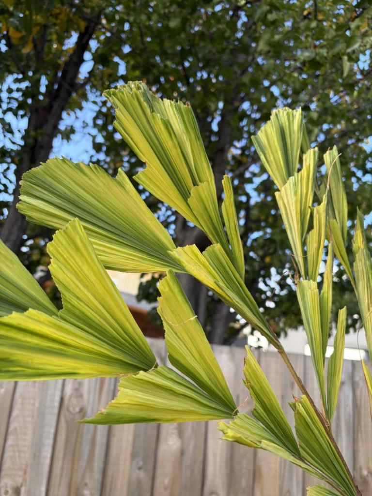
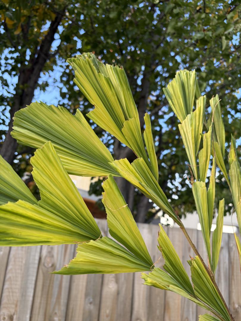
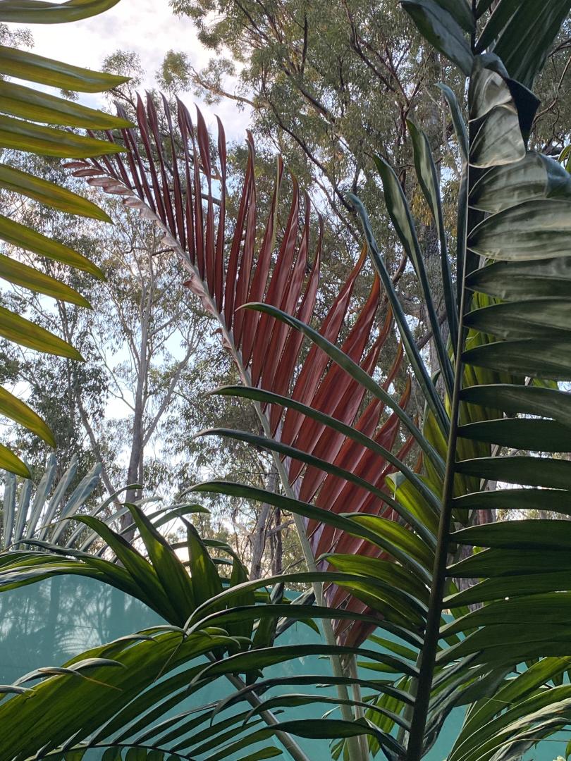
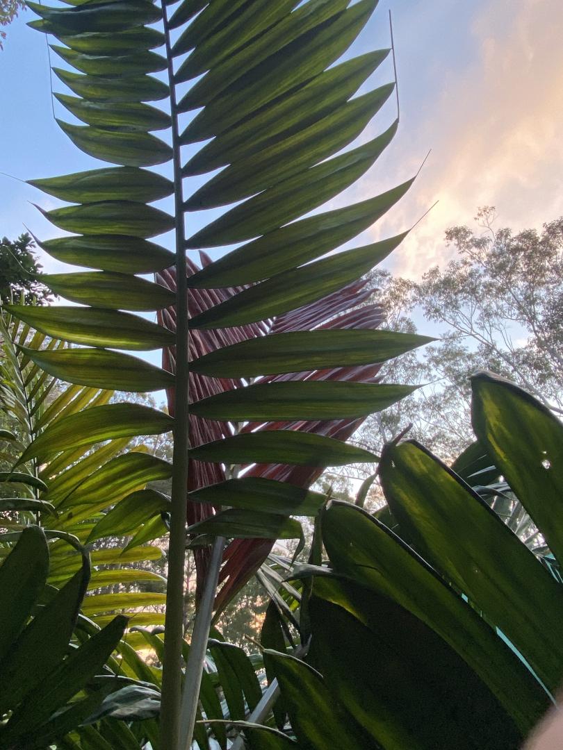
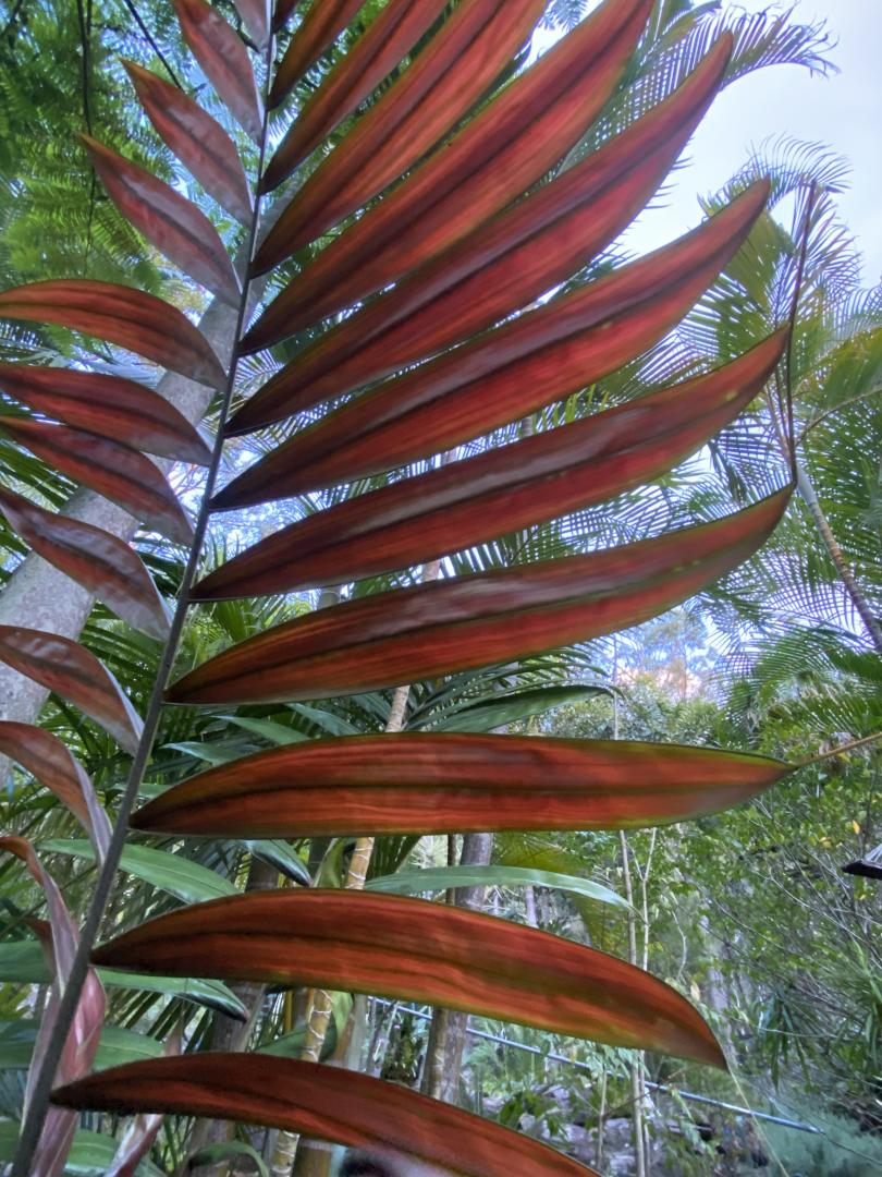
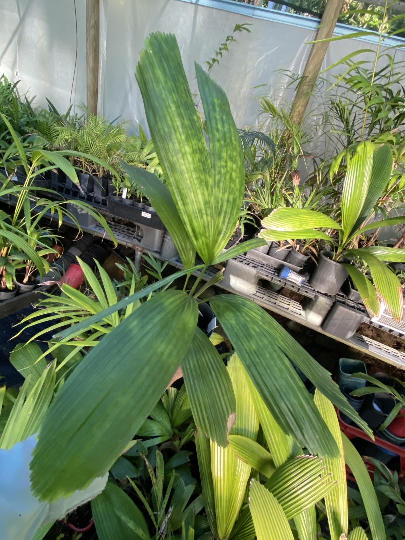
4 pointsCaryota obtusa opening up a frond mid winter. Almost looks variegated.
 4 points
 -
 4 pointsAt that point they might as well just have them cut down entirely. Wild how anybody could do this to a palm and think this looks good in any way. If someone ever did this to one of my palms i would probably end up in jail 😂4 points
 -
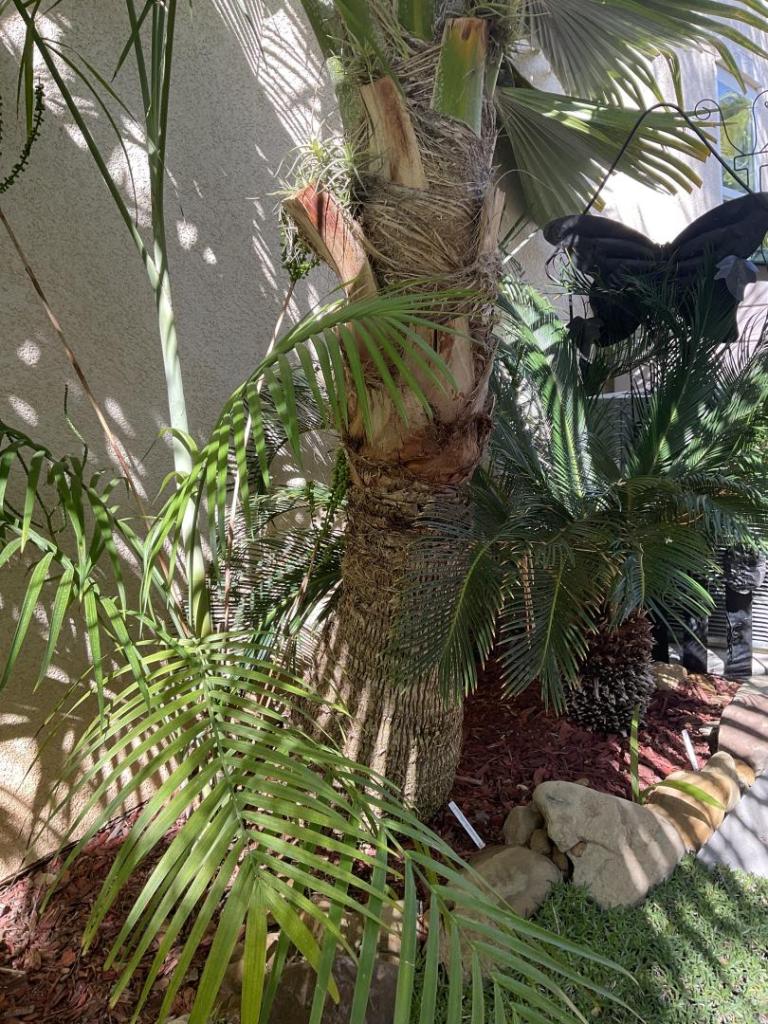
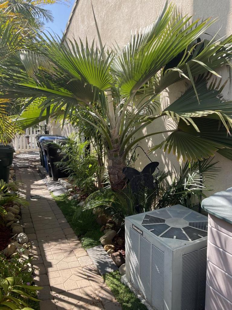
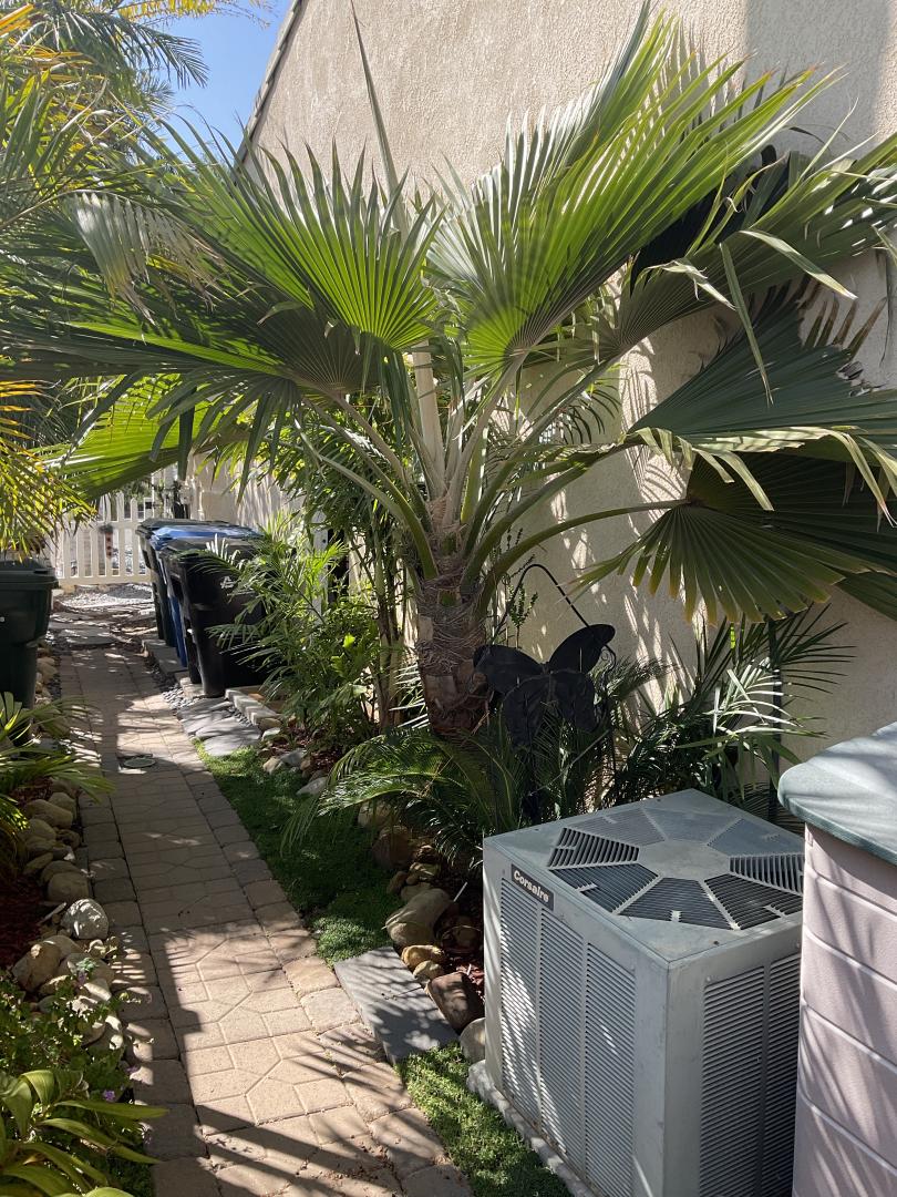
4 pointsMy only Pritchardia is P. Hillebrandii brought home from Maui years ago in a 3” pot! It has survived for at least 15 years here in Santa Paula . Planted next to my house for protection , although I’m not sure it needed it. Harry
 4 points
 -
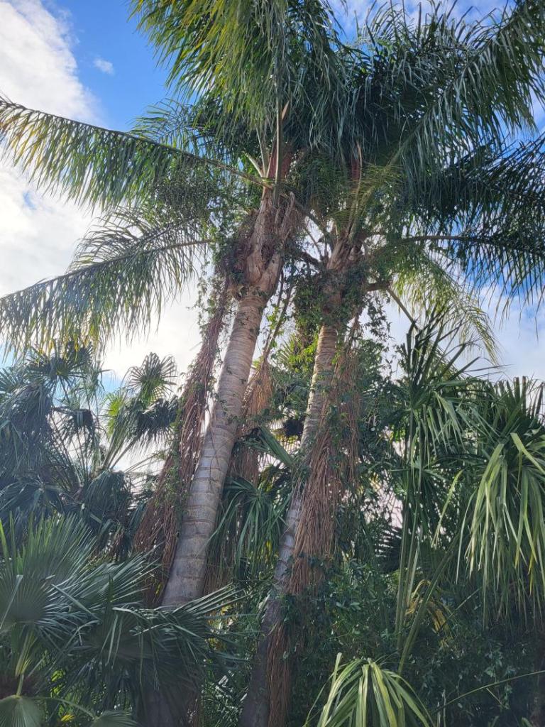
 mine have been in the garden for over 30 years
 4 points
 -
 We got a nice wet down yesterday at 7pm, about half an inch. Hoping this continues into a real wet season. Ive been waiting to plant a few palms, but I wont do it until the rains ar more consistent. Its much easier to keep palms in pots at this time.3 points
 -
 3 points
 -
3 points
-
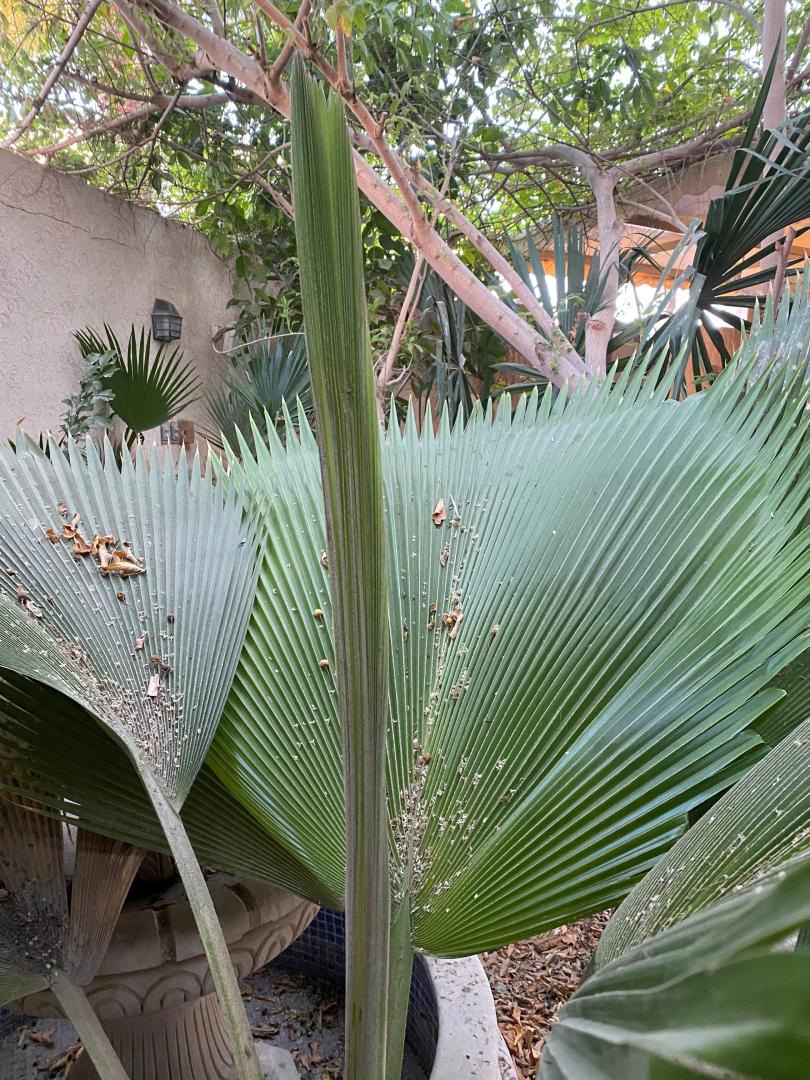
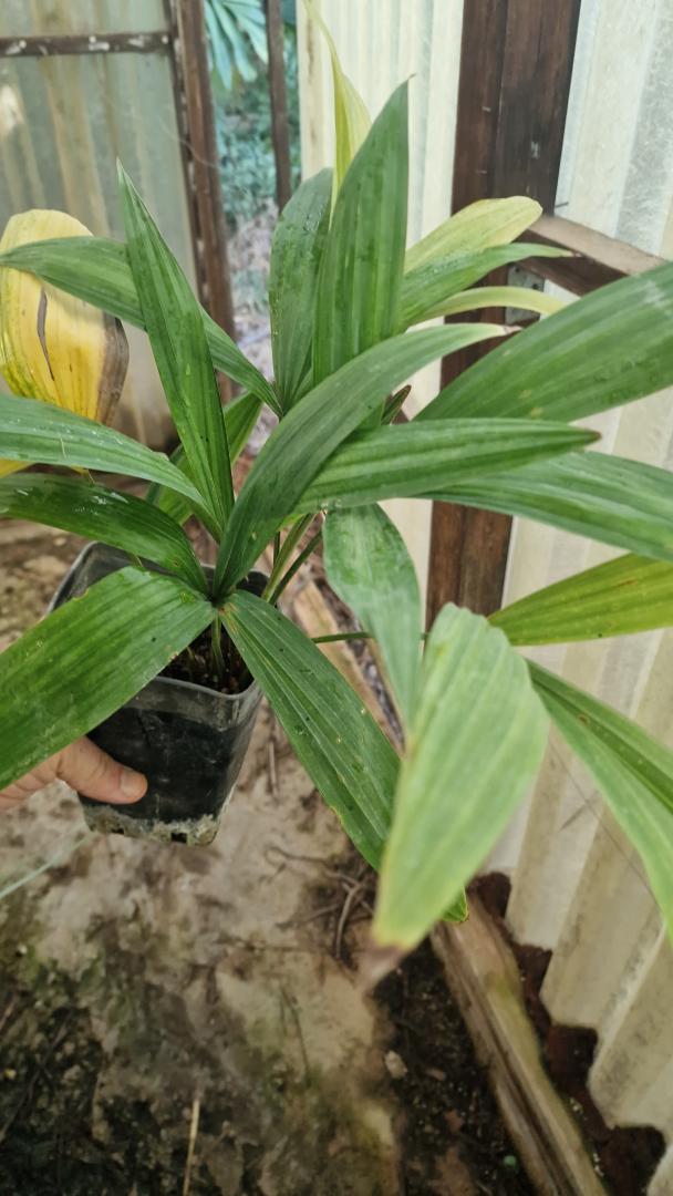
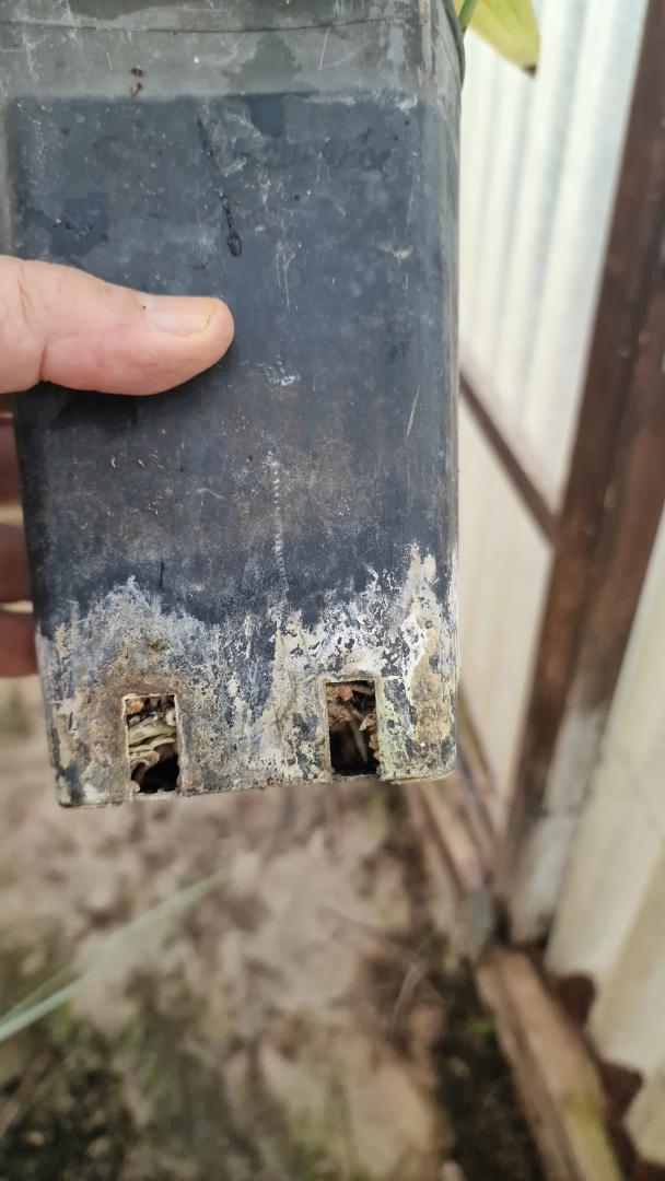
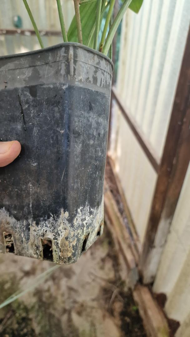
 3 pointsHere is my (underpotted) C nana. Roots are ready to burst out of the pot.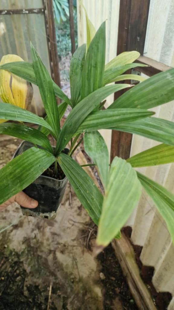
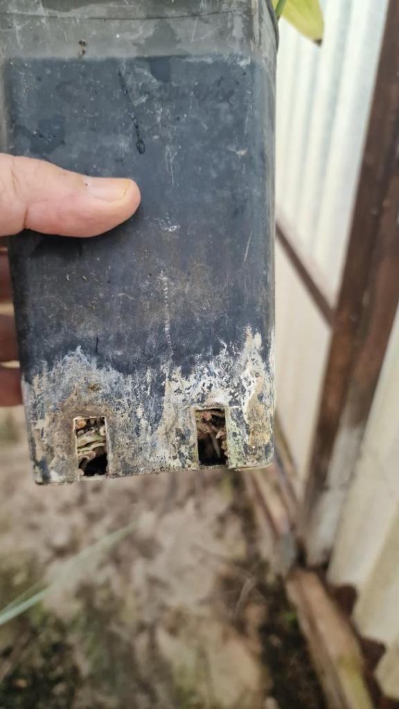
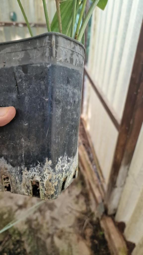 3 points
 -
 3 pointsNo Dictyocaryums, but I do have several Ceroxylons, Hedyscepes, Lepidorrhachis, and Geonoma palms. Also, about 15 Chamaedorea species. Thanks for the compliments.3 points
 -
 I have also a triple and quadruple :) Yes, sometimes the trunk is solitair but most of my C. decipens produced two trunks, one produced three and one even 4 trunks.
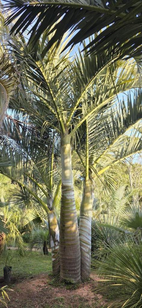 3 points
 -
 3 points
 -
3 pointsYou’re not alone here! I even love YOUR palms😁. Going to visit @DoomsDave palms tomorrow with a fellow collector/friend . I will love his palms while I am there. Maybe adopt a few! Harry Who am I kidding……MAYBE?😂3 points
-
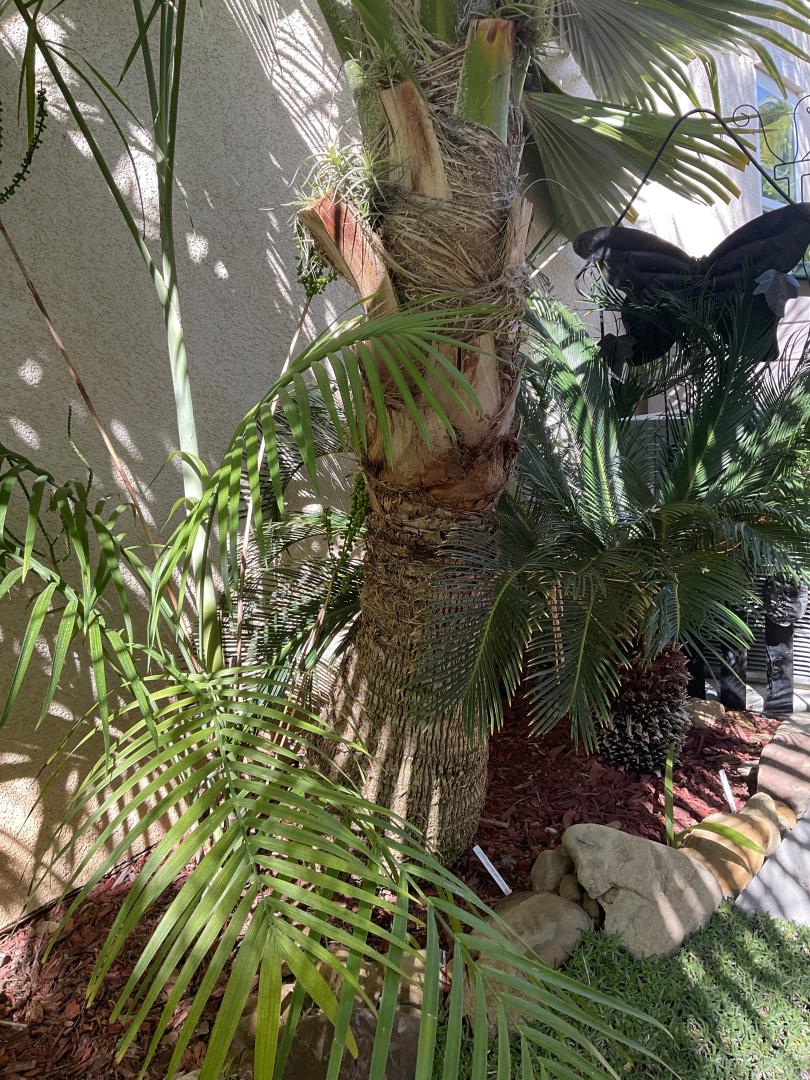
3 pointsIn Ventura , by my shop , there were a couple of Brahea Edulis that I love to see every time I pass. Someone just trimmed the poor things just like that. The other day , when I passed by one crown was bent over and looked like it was hanging by a thread. I was upset and they weren’t even my palms! I believe the saw cut into the crown😕. They are very old palms and it was sad to see. The other one looks pathetic. Harry3 points
-
3 pointsCurrently 3 species of Chuniophoenix are recognised. C hainanensis C nana C suoitienensis C humilis is currently considered a synonym of C nana. I’ve found both C nana and C hainanensis to be bulletproof down to at least -1.5C with no damage. I’ll hopefully be able to test out C suoitienensis one day @happypalms 😉😉3 points
-
3 pointsThank you for the update. Things are looking good . The new growth is nice to see. Interesting that such a desert loving palm can look that good in a humid environment . Good job keeping it through the winter. Harry3 points
-
3 points
-
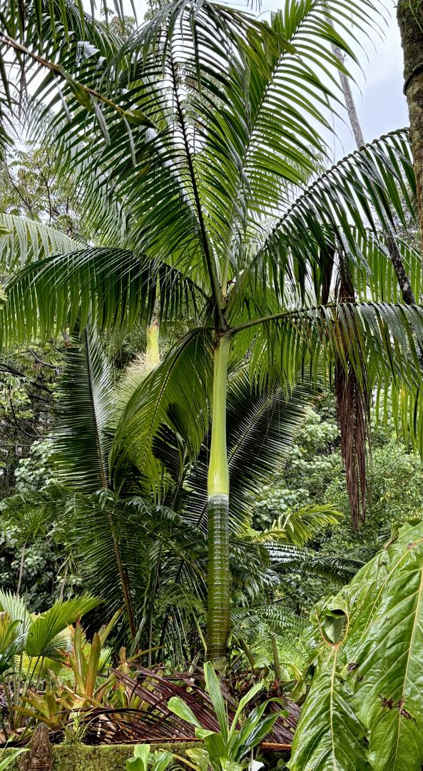
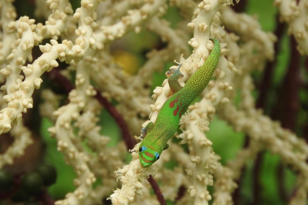
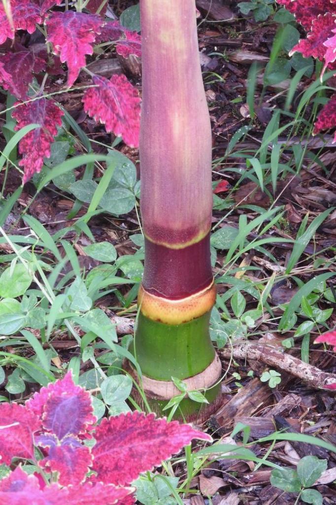
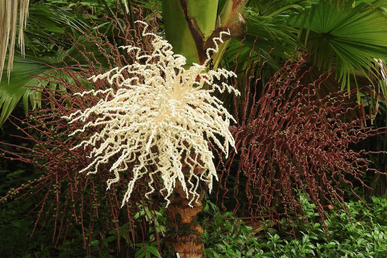
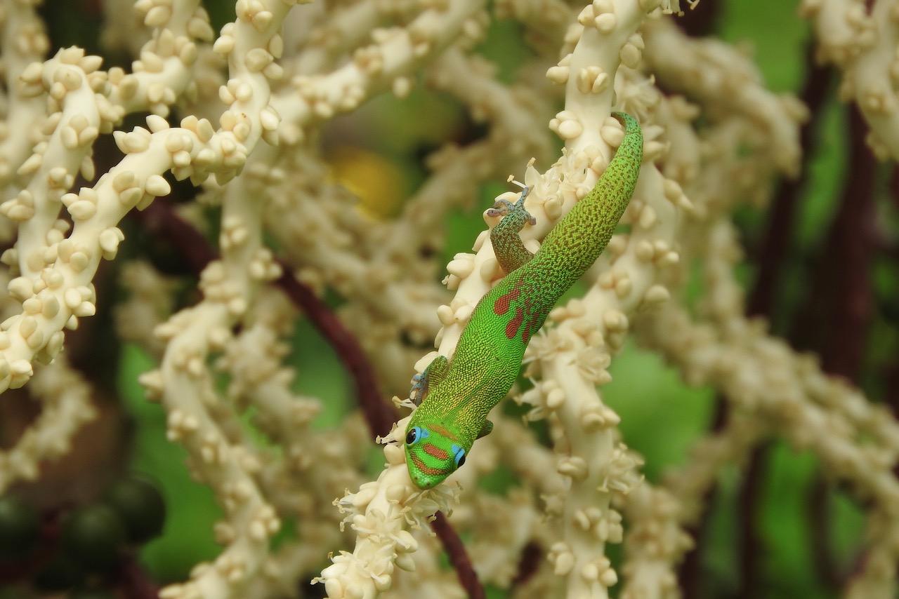
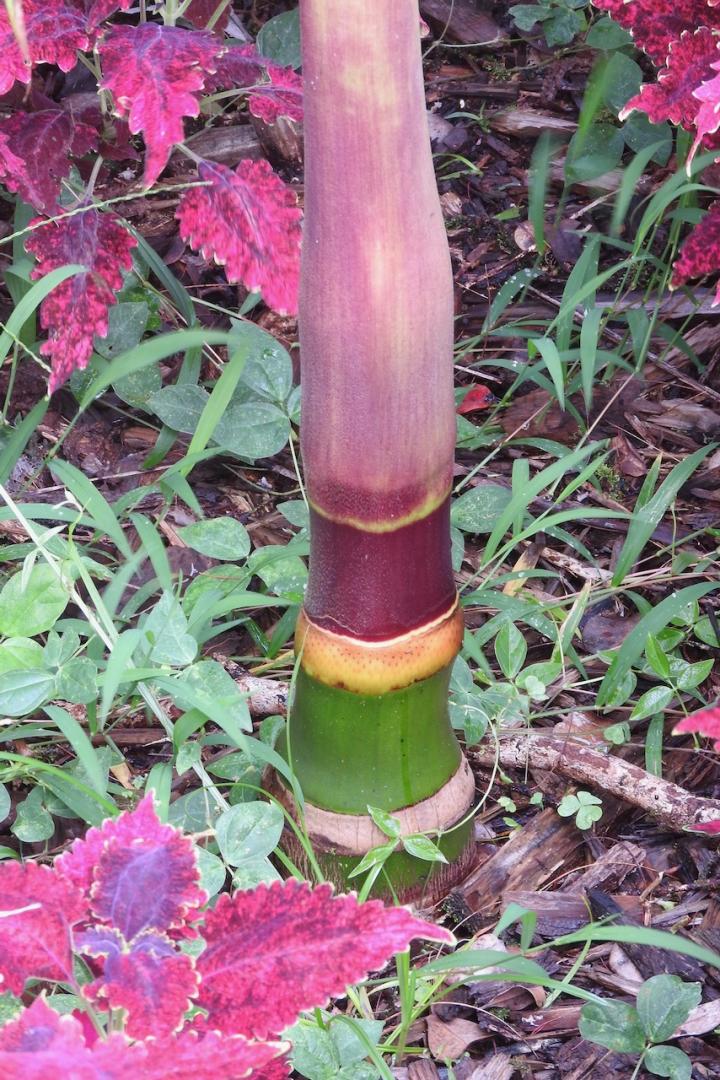
 3 pointsYet another photo of Prestoea acuminata var montana in bloom. Opens pure white, then becomes pink, and finally dark red with green fruit. Never fails to draw in visitors to the garden. I'm not sure if the geckos are hunting the many bees attracted to the flowers, or something else. But you gotta love those blue eyelids. Geckos were introduced in Hawaii decades ago and now number in the billions. The Kalij pheasants love eating them, but don't put a dent in the population. Plenty of geckos make themselves at home inside my house. And my first Pinanga speciosa has gotten too tall to appreciate the colorful crownshaft, so I've planted some babies. Just starting to hint at the coming show.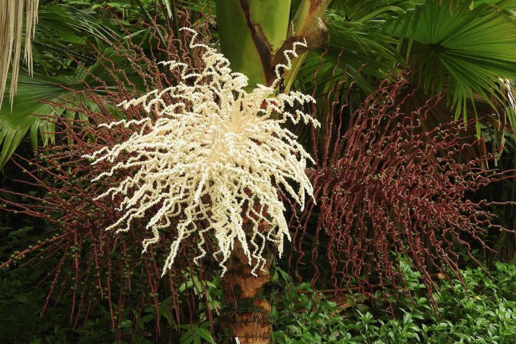
 3 points
 -
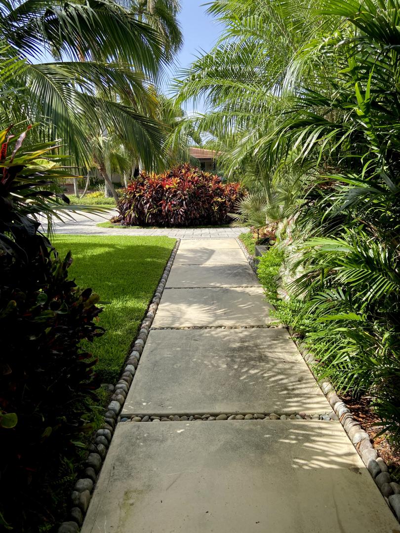
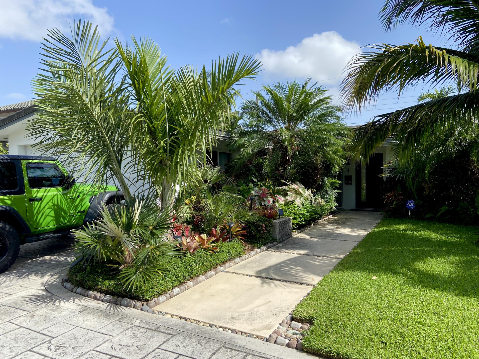
 2 pointsMy house has changed after 5 years on this forum…. It’s a jungle out there. (After many holes dug, a truckload of fertilizer and mulch, and a zillion gallons of water) Thanks for all the assistance.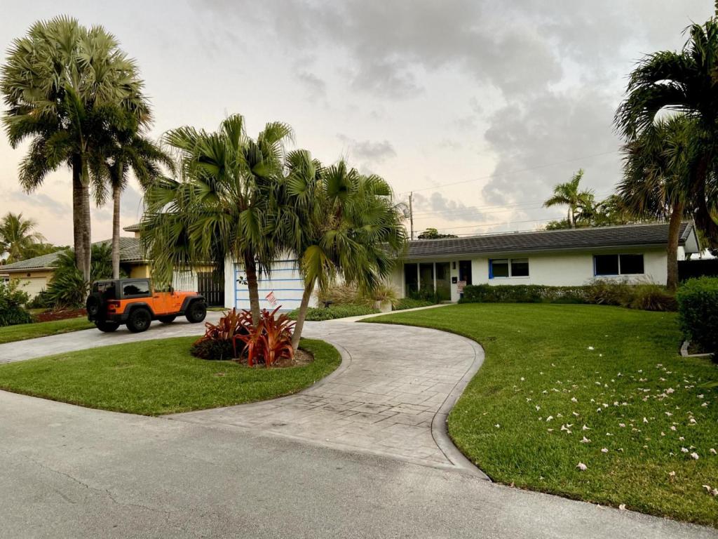
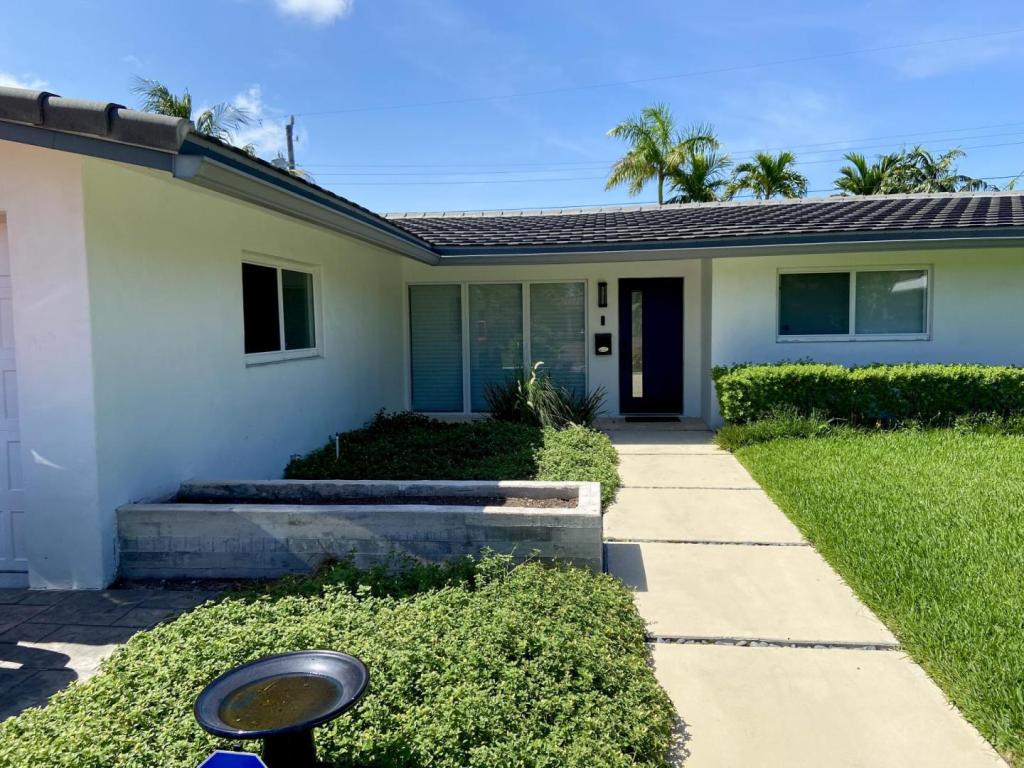
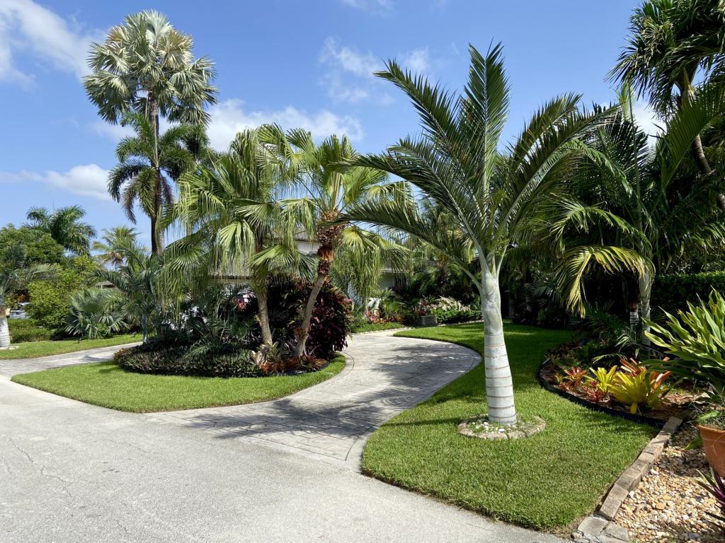
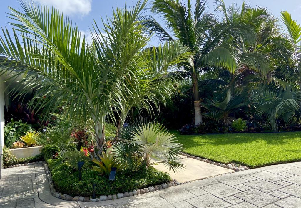
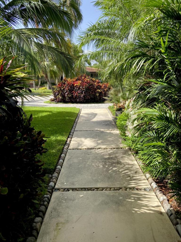
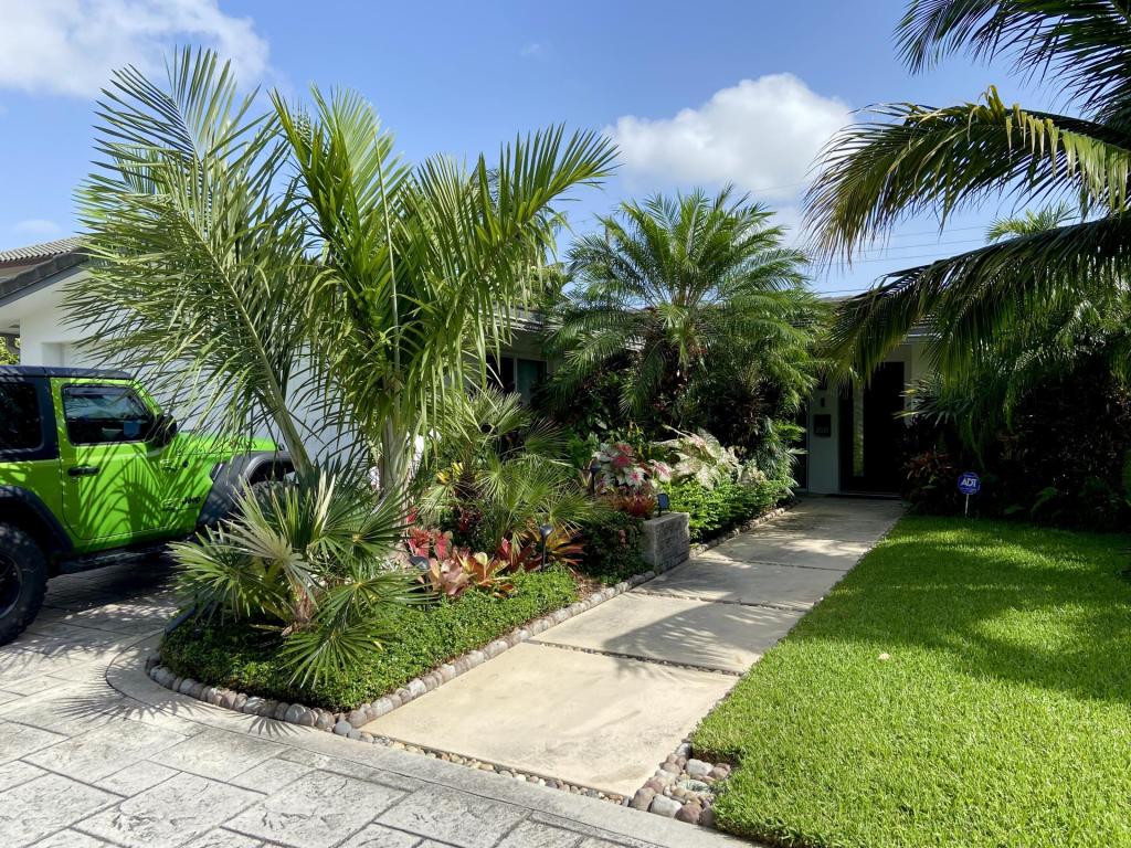
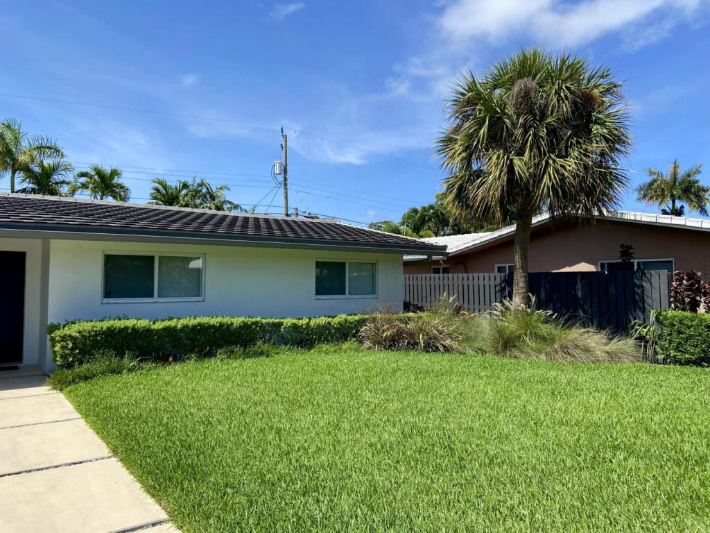 2 points
 -
 2 pointsI just spent the last few days driving around Southern California and photographed the Newport Beach Hyatt Regency palms, the South Coast Plaza Mall palms, and the LA Arboretum up in Arcadia, CA! Click here for the complete album with labels Clinostigma savoryanum - Newport Beach Veitchia arecina - Newport Beach Coconut in Long Beach, CA Coconut in Santa Ana, CA Chrysalidocarpus lutescens - they are common, but I love them Flawless Roystonea regia Coccothrinax crinita - LA Arboretum Thrinax radiata LA Arboretum allegedly has some of the tallest Washingtonia robusta in the world Ravenea xerophila Livistona lanuginosa Calamus caryotoides2 points
 -
 2 points
 -
2 points
-
Thank you , Richard . That helps , I’m learning as I go here . Once they get leaflets I plan to slowly move them into my garden , I do know they prefer it cool . Especially while young. If they are similar to Howea in requirement , we got this . Harry2 points
-
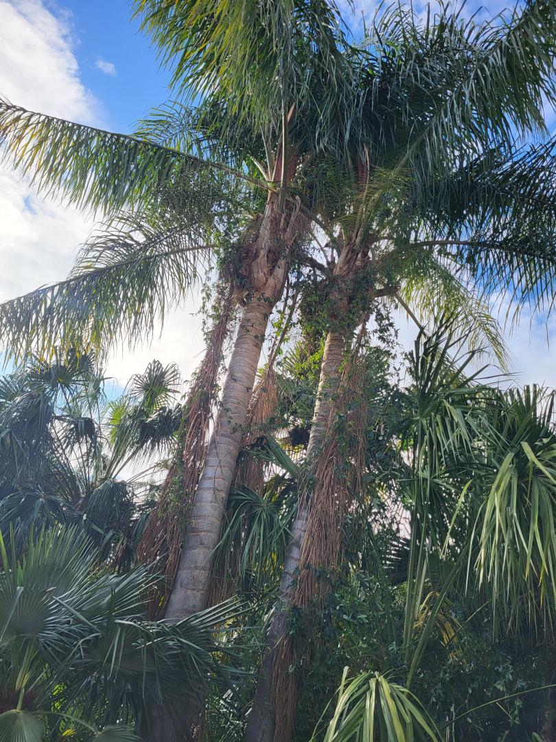
If you want a good canopy , Syagrus R. is a great option . They are messy when they flower but the bees love them and bees are great environmental friends. @gyuseppe , beautiful palms! I bet they provide a nice bit of shade for that part of your garden. All but one of my Queen palms are prolific seed producers . Most of the time I have the spathes cut as soon as they show up , but with all of the palms it’s hard to keep up so I get volunteers in the garden. Fortunately the seedlings are very slow growers. Once the plumose fronds emerge ….look out! Rocket ships. Harry2 points
-
The amount of things I have learned on palmtalk has been amazing, some very good growers out there, palmtalk is such a large t as lent pool. I had my ones originally on heat mats and read what you said about just normal room temperature is fine, so we learnt of each other, in this case! I find treat them like a Howea species a bit like masoala madascariensis, that is what I have learnt about them! Richard2 points
-
 2 pointsI think I'm on a watch list... seriously. My last three shipments all were flagged and confiscated. I paid to have one returned due to the amount of plants in the order. So until I get my nursery license it's a no go. Still working on other projects but hoping to complete this process later in the year.2 points
 -
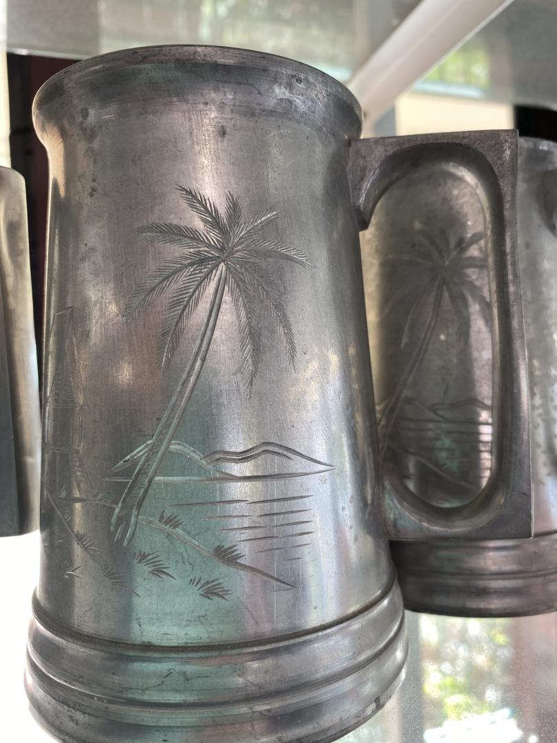
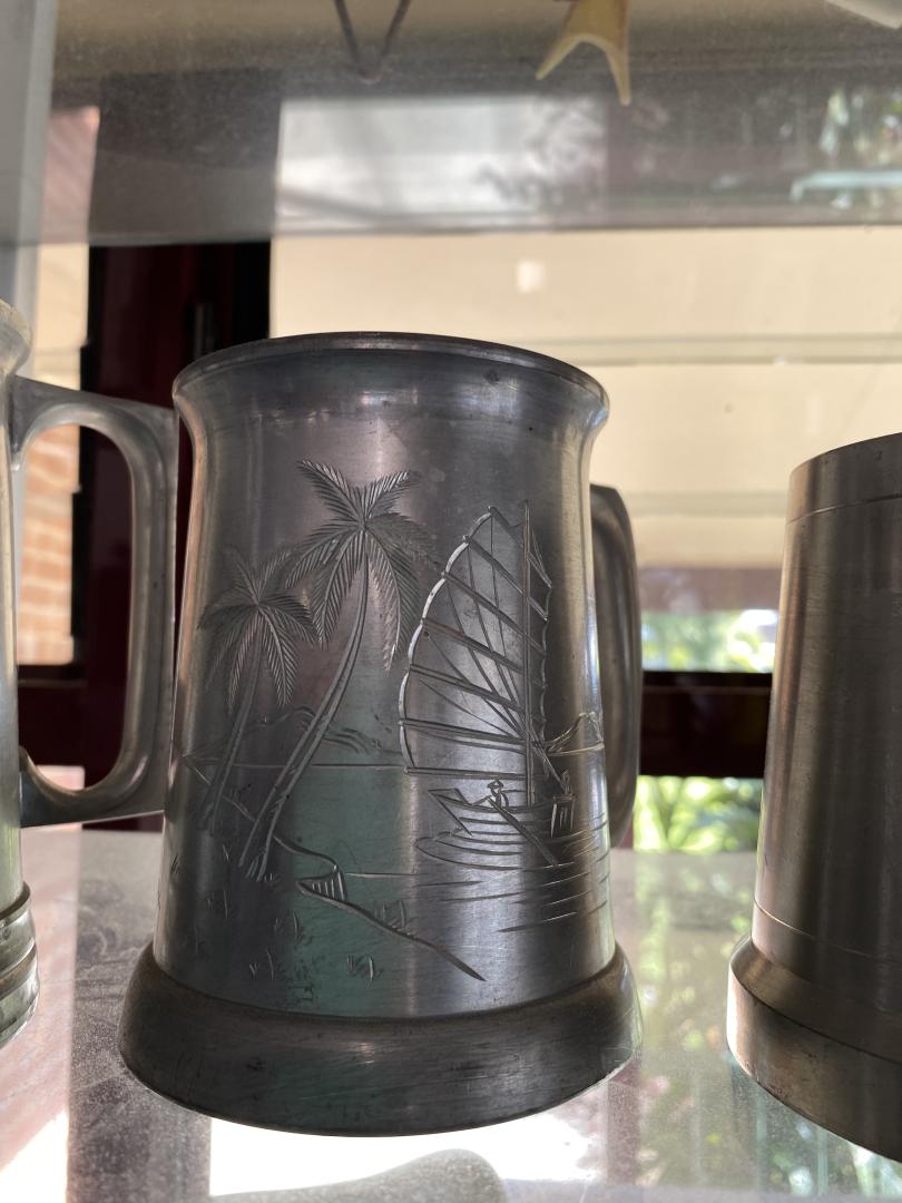
2 pointsA nice set of pewter beer mugs in the opportunity shop caught my eye today, no i didnt buy them should have though now I think about it!
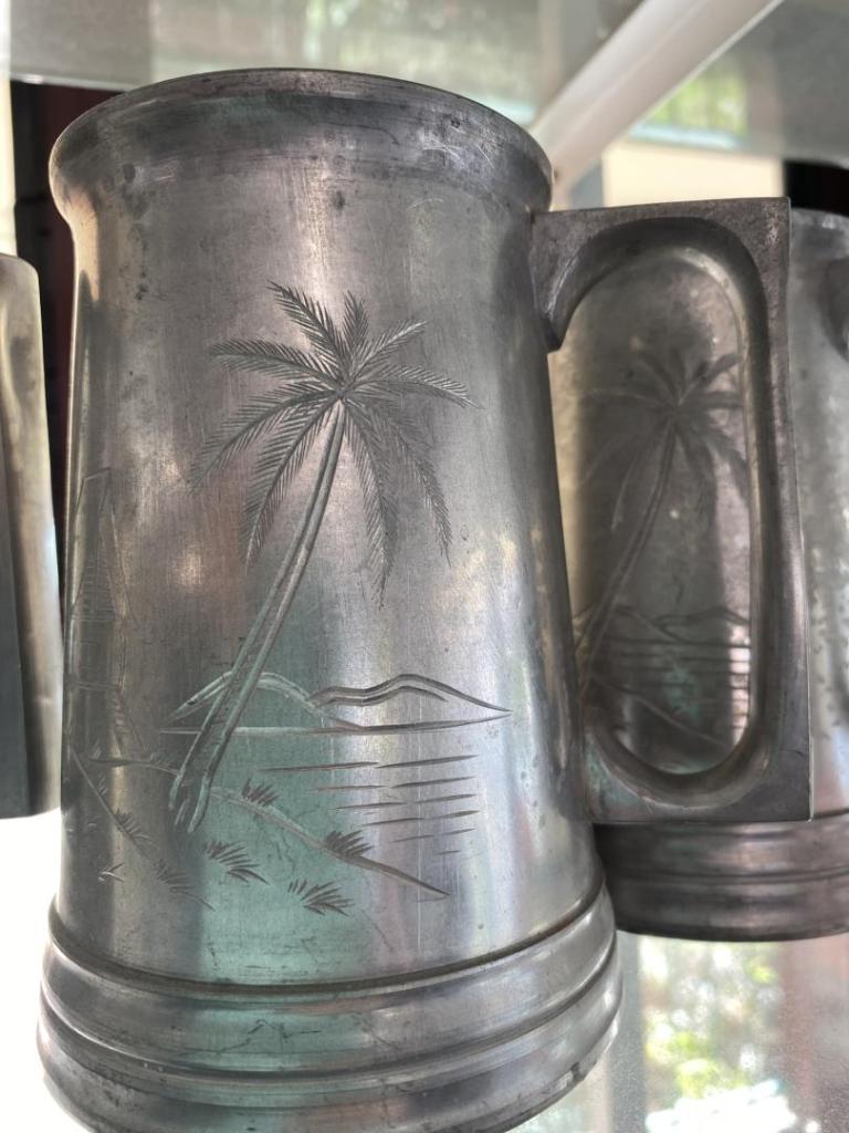
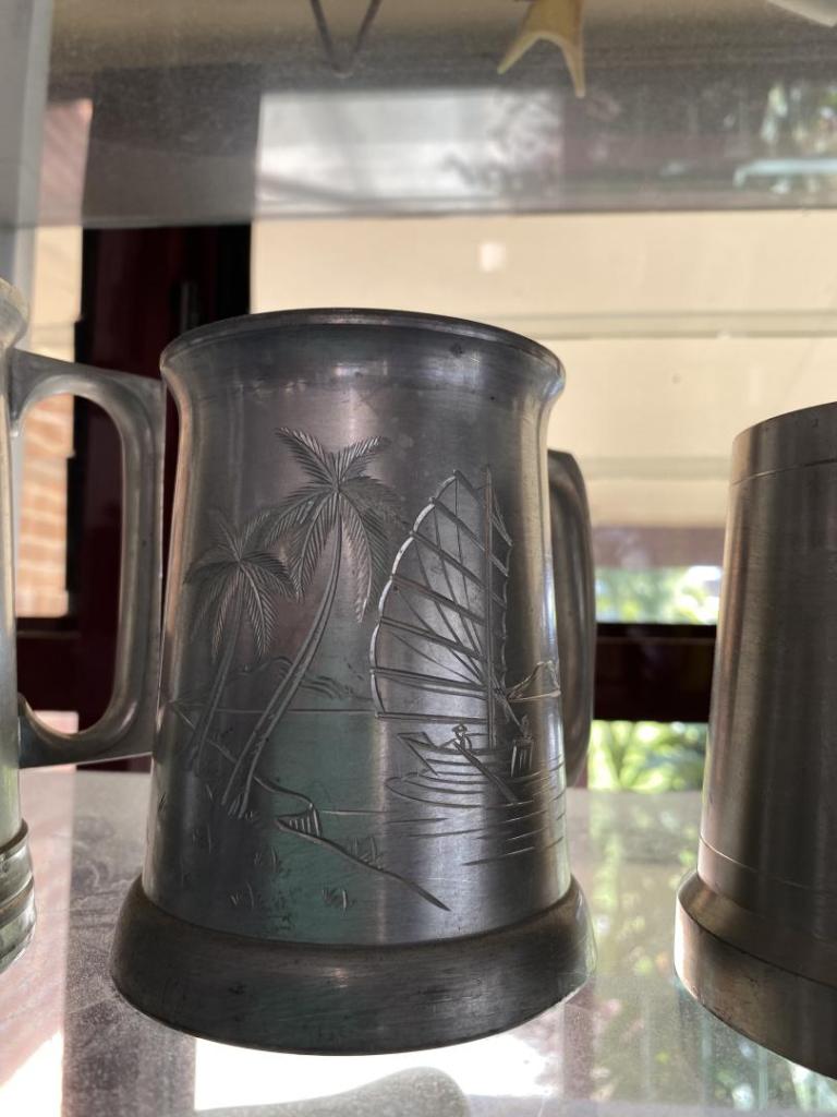 2 points
 -
2 pointsWell , this sounds like an international ring! I’m in , we have to be careful though , Dave has watch kitties . Yes , more than one . They have secret weapons …..purring! @DoomsDave has them trained . Harry2 points
-
2 pointsThey are tough as nails, so I can’t figure out why they died, unless humilis is a different form, which apparently it’s not, so something went wrong, but all three dead I just put it down to cold weather. Knowing they are tough to cool cold conditions I obviously did something wrong to kill them all!2 points
-
2 pointsGood lord @tim_brissy_13 glad you have been keeping stocktake on my palm inventory, cause i wouldnt have a clue as to how many palms 🤣I have, let alone guess how many varieties there is @happypalms! 🤣 And iam saying that cause it’s true☝️ Iam sure there is no better test than a refrigerator for the suoiteniensis, there still here, and the best part is no crow bar will be needed to get my hands of one them for you, do drop in! 😜🤪2 points
-
many seeds are produced and they grow everywhere2 points
-
2 pointsMaybe we could together organise a hit on @DoomsDave collection, after all the gang was going to hit @happypalms and if I do remember @peachy was the driver and California Harry was the mastermind behind it all, you keep him busy Harry and the rest of us will sneak around the back and run with the goodies! 🤣 Richard2 points
-
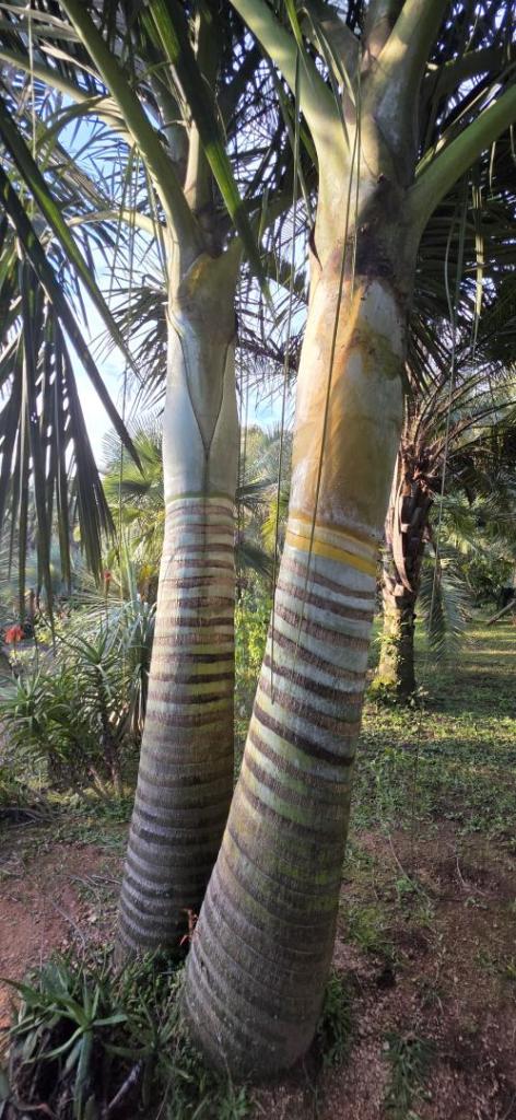
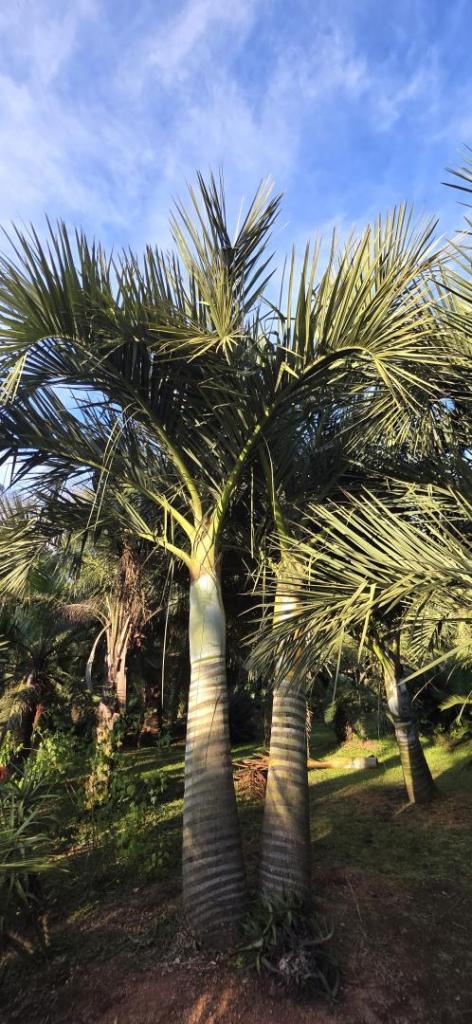
First pics were taken june 2021 and the following two today. It isn't slow after forming a trunk.


 2 points
 -
Be very gentle when planting this . They can be root sensitive but tough palms once established. I would get rid of the snails, yes! The best thing for Brahea or any large palm is to cut the container and gently lower the palm ( minus the pot) into its new home . Of course it will want some water and a bit of garden soil around it . I wouldn’t worry about feeding it just yet . I have never fed either of my Brahea here in Southrrn California. Congratulations , that’s a beauty . I would keep the little one until the palm shows that it has adapted , and then make up your mind whether you like it as a duo. Harry2 points
-
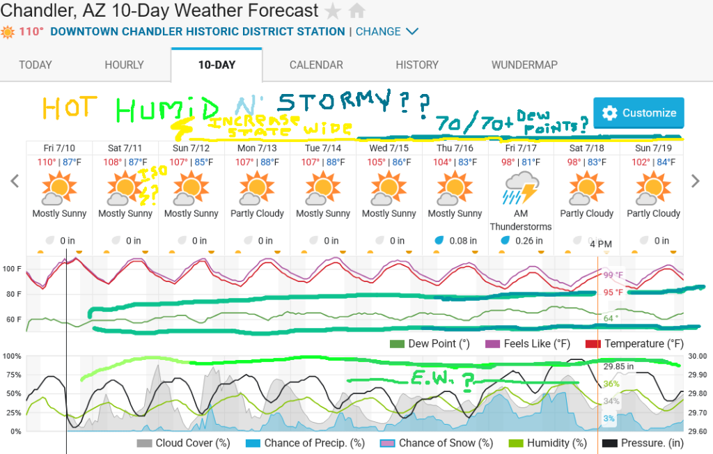
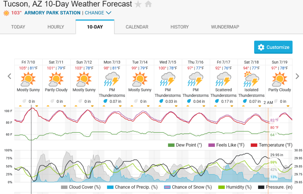
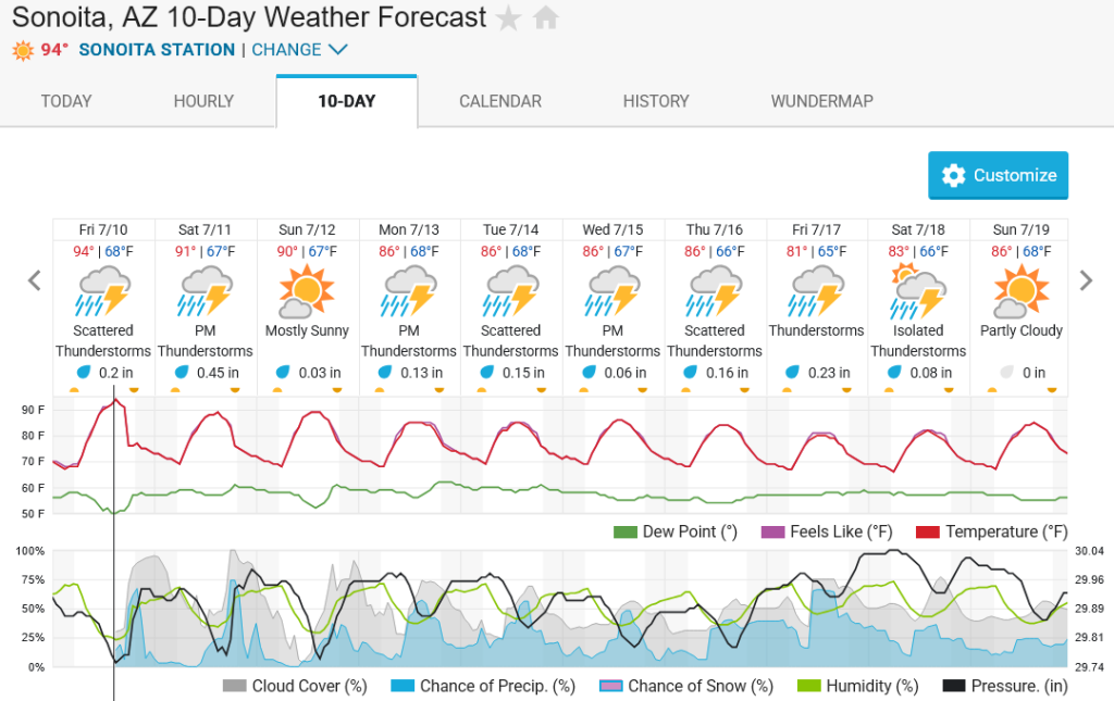
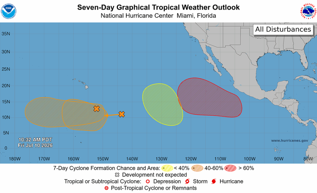
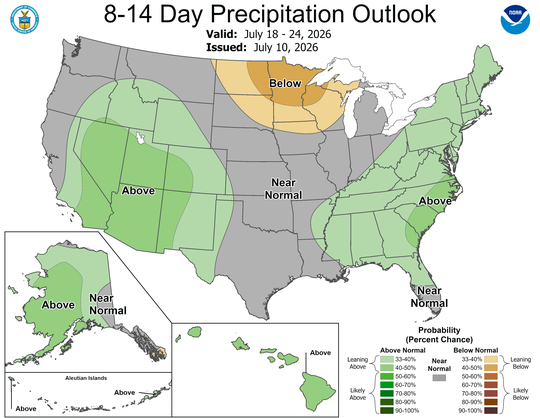
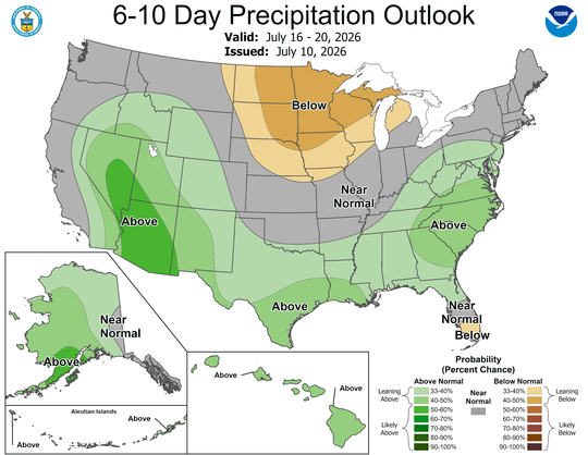
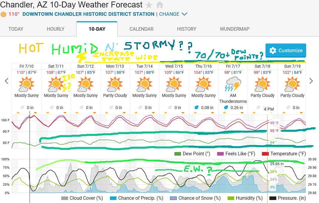
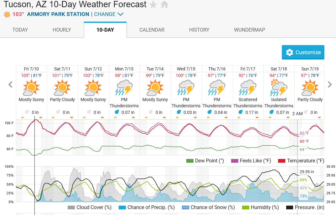
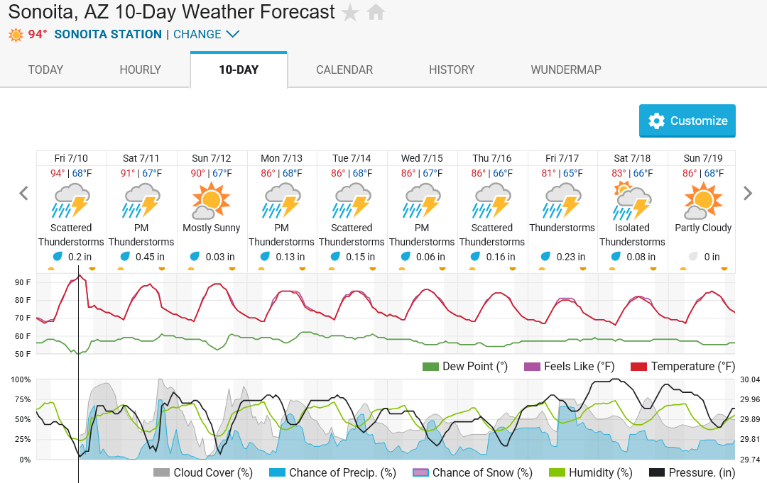
(173x200).thumb.jpg.87642ce613f801fde119db608b8aeb96.jpg) Bouncing between a hot 108 ..and a " not as gross " 111F our there at 3:27PM. That said, add in the currently fluffy Dew Point reading of 57 and the " real feel " has been wavering between 113 and 118.. While the Excessive heat warning will end around 8PM, expect another hot night in the mid / upper 80s and 90 / 90+ < 90 /90+ readings = closer to downtown PHX > Touch cooler tomorrow as things start to change.. " Changing Times " = clearly evident in today's afternoon COD T.C. Satellite loop... While steering flow in the upper levels will drive storm activity currently bubbling up over the White Mtns / Gila Wilderness in New Mexico toward the south / southwest again, keeping a majority of today's storms confined to Cochise Co. and the borderlands, note that the flow is starting to take on a more " east to west " trajectory today than it has over the last couple days ...A good sign that the center of the subtropical high, currently stretched out between L.A. and the PHX area, is starting to shift north toward Utah and western Colorado ...Where it should be by this time tomorrow. That shift = increased east to west upper level steering flow, and increasing moisture levels through the entire atmosphere, which should boost storm coverage, getting it closer to PHX. While not in the official forecast currently, if storm activity is as widespread to our south tomorrow as some of the forecasts are suggesting, it is entirely possible some deg. of left over shower activity / few bolts rides a dusty outflow boundary into -at least- this side of the valley late tomorrow night. This is something that has been hinted at by various HRRR runs over the last couple days, so ..We'll see. Regardless, most of the current forecast thinking is pointing at Sunday night / Monday being our first good shot at storms across the valley.. ** As usual, whose house / side of town sees rain, vs. another that doesn't = that is how the monsoon works, 99% of the time. Nothing predictable about that. ....So no whining about it if you stay dry.. ** Beyond anything we might see by Monday morning, next week looks to stay reasonably active as the subtropical high stays in a favorable position for continued east / southeasterly flow. Some hints at an Easterly Wave / Inverted Trough approaching the area by mid / late week, ...which would really enhance rain chances / coverage / up the heavy rain threat.. As usual, further south you go, rain chances look better.. Highs in the 80s to about 90, lows in the mid/upper 60s = Sonotia / Patagonia area looking great. On that note, as humid as it may feel out there now, ..it could get quite soupy, esp. by desert standards, next week.. D.P's in the lower / mid 60s look pretty likely all of next week and are pretty typical during Monsoon season. Rarer? the consistent suggestion by both the GFS and ECMWF ( Especially ) of seeing Dew Point readings topping 70deg ..if not flirting with / breaching 80, which ..i honestly can't remember the last time i'd seen 75 -82deg Dew Point readings suggested in a forecast for this area. More clouds / storms around + higher D.P's / Humidity = temps will come down next week to -at least- the lower 100s. Cloudier / stormier days? = highs might stay below 100. At the same time, As is normal during the season, the " A slow day often follows an active day " rule is in effect.. Outside of a disturbance enhancing day to day rain potential, rare that it rains -every day-, in the same exact location as yesterday, during an active period. Esp. in the lower deserts. Tucson, Mtns, Borderland region? = better nearby terrain features for getting daily storms.. That's just how it is.. ....And it's not just AZ / Western NM that will see the season get kicked up a few notches next week.. Pretty much all of the region will see some deg. of increase in monsoonal storm activity, inc CA. *** See Dan's latest WX West blog post for those details / other thoughts.. *** https://weatherwest.com/archives/43915 Looking further out? ..For Now... second half of July / peek into Aug. looks ..respectable.. ....in terms of monsoon season precip lean chances. As always, take what you see suggested today w/ that dash of salt ..aand that healthy dose of " convince me " skepticism. While any activity that forms out by Hawaii won't do squat here, have to keep an eye on any possible T.C. storm development closer to Mexico as the E. Pac. goes into another active cycle. They may ..stay away.. or push pulses of deep tropical moisture our way. Empty SD card? ..check.. Tripod plate put where i won't loose it again, ..check.. Foothills / Borderlands greening up nicely, ..Asap? ....Let alone everyone's yards here in the valley and nearby getting some good soakings ..soon..? ..Fingers Crossed.... Saddle up, Buckle up, or take a seat ...Appears the show is about to start...
Bouncing between a hot 108 ..and a " not as gross " 111F our there at 3:27PM. That said, add in the currently fluffy Dew Point reading of 57 and the " real feel " has been wavering between 113 and 118.. While the Excessive heat warning will end around 8PM, expect another hot night in the mid / upper 80s and 90 / 90+ < 90 /90+ readings = closer to downtown PHX > Touch cooler tomorrow as things start to change.. " Changing Times " = clearly evident in today's afternoon COD T.C. Satellite loop... While steering flow in the upper levels will drive storm activity currently bubbling up over the White Mtns / Gila Wilderness in New Mexico toward the south / southwest again, keeping a majority of today's storms confined to Cochise Co. and the borderlands, note that the flow is starting to take on a more " east to west " trajectory today than it has over the last couple days ...A good sign that the center of the subtropical high, currently stretched out between L.A. and the PHX area, is starting to shift north toward Utah and western Colorado ...Where it should be by this time tomorrow. That shift = increased east to west upper level steering flow, and increasing moisture levels through the entire atmosphere, which should boost storm coverage, getting it closer to PHX. While not in the official forecast currently, if storm activity is as widespread to our south tomorrow as some of the forecasts are suggesting, it is entirely possible some deg. of left over shower activity / few bolts rides a dusty outflow boundary into -at least- this side of the valley late tomorrow night. This is something that has been hinted at by various HRRR runs over the last couple days, so ..We'll see. Regardless, most of the current forecast thinking is pointing at Sunday night / Monday being our first good shot at storms across the valley.. ** As usual, whose house / side of town sees rain, vs. another that doesn't = that is how the monsoon works, 99% of the time. Nothing predictable about that. ....So no whining about it if you stay dry.. ** Beyond anything we might see by Monday morning, next week looks to stay reasonably active as the subtropical high stays in a favorable position for continued east / southeasterly flow. Some hints at an Easterly Wave / Inverted Trough approaching the area by mid / late week, ...which would really enhance rain chances / coverage / up the heavy rain threat.. As usual, further south you go, rain chances look better.. Highs in the 80s to about 90, lows in the mid/upper 60s = Sonotia / Patagonia area looking great. On that note, as humid as it may feel out there now, ..it could get quite soupy, esp. by desert standards, next week.. D.P's in the lower / mid 60s look pretty likely all of next week and are pretty typical during Monsoon season. Rarer? the consistent suggestion by both the GFS and ECMWF ( Especially ) of seeing Dew Point readings topping 70deg ..if not flirting with / breaching 80, which ..i honestly can't remember the last time i'd seen 75 -82deg Dew Point readings suggested in a forecast for this area. More clouds / storms around + higher D.P's / Humidity = temps will come down next week to -at least- the lower 100s. Cloudier / stormier days? = highs might stay below 100. At the same time, As is normal during the season, the " A slow day often follows an active day " rule is in effect.. Outside of a disturbance enhancing day to day rain potential, rare that it rains -every day-, in the same exact location as yesterday, during an active period. Esp. in the lower deserts. Tucson, Mtns, Borderland region? = better nearby terrain features for getting daily storms.. That's just how it is.. ....And it's not just AZ / Western NM that will see the season get kicked up a few notches next week.. Pretty much all of the region will see some deg. of increase in monsoonal storm activity, inc CA. *** See Dan's latest WX West blog post for those details / other thoughts.. *** https://weatherwest.com/archives/43915 Looking further out? ..For Now... second half of July / peek into Aug. looks ..respectable.. ....in terms of monsoon season precip lean chances. As always, take what you see suggested today w/ that dash of salt ..aand that healthy dose of " convince me " skepticism. While any activity that forms out by Hawaii won't do squat here, have to keep an eye on any possible T.C. storm development closer to Mexico as the E. Pac. goes into another active cycle. They may ..stay away.. or push pulses of deep tropical moisture our way. Empty SD card? ..check.. Tripod plate put where i won't loose it again, ..check.. Foothills / Borderlands greening up nicely, ..Asap? ....Let alone everyone's yards here in the valley and nearby getting some good soakings ..soon..? ..Fingers Crossed.... Saddle up, Buckle up, or take a seat ...Appears the show is about to start...
Scaled(27).thumb.png.9960cb6311bb25500062ffa8ce2fa12b.png)
 2 points
 -
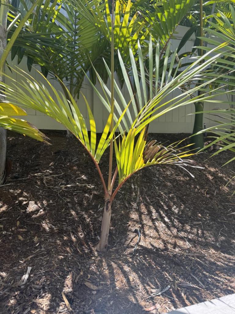
 2 pointsMine is doing okay in So Cal but has a bit of recent leaf burn. The one that I have in a pot is younger but somehow much bigger and happier which seems to be the opposite growth habit of all my New Cals that are in the ground.
 2 points
 -
2 pointsIs Chuniophoenix humilis a third sp in the genus? If it is synonym to nana, then nana has turned out tough as nail in my cold frame. But it needs quite acidic substrate.2 points
-
2 points
-
2 pointsI would like to see Richard’s house if he brings all of his 100,000 palms inside for the winter 🤣2 points
-
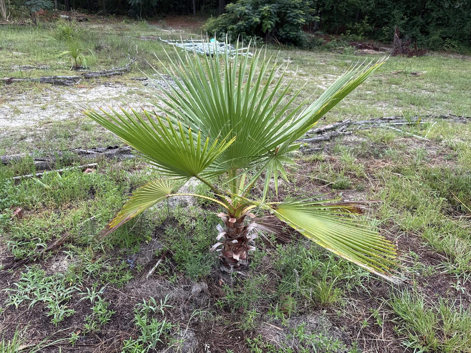
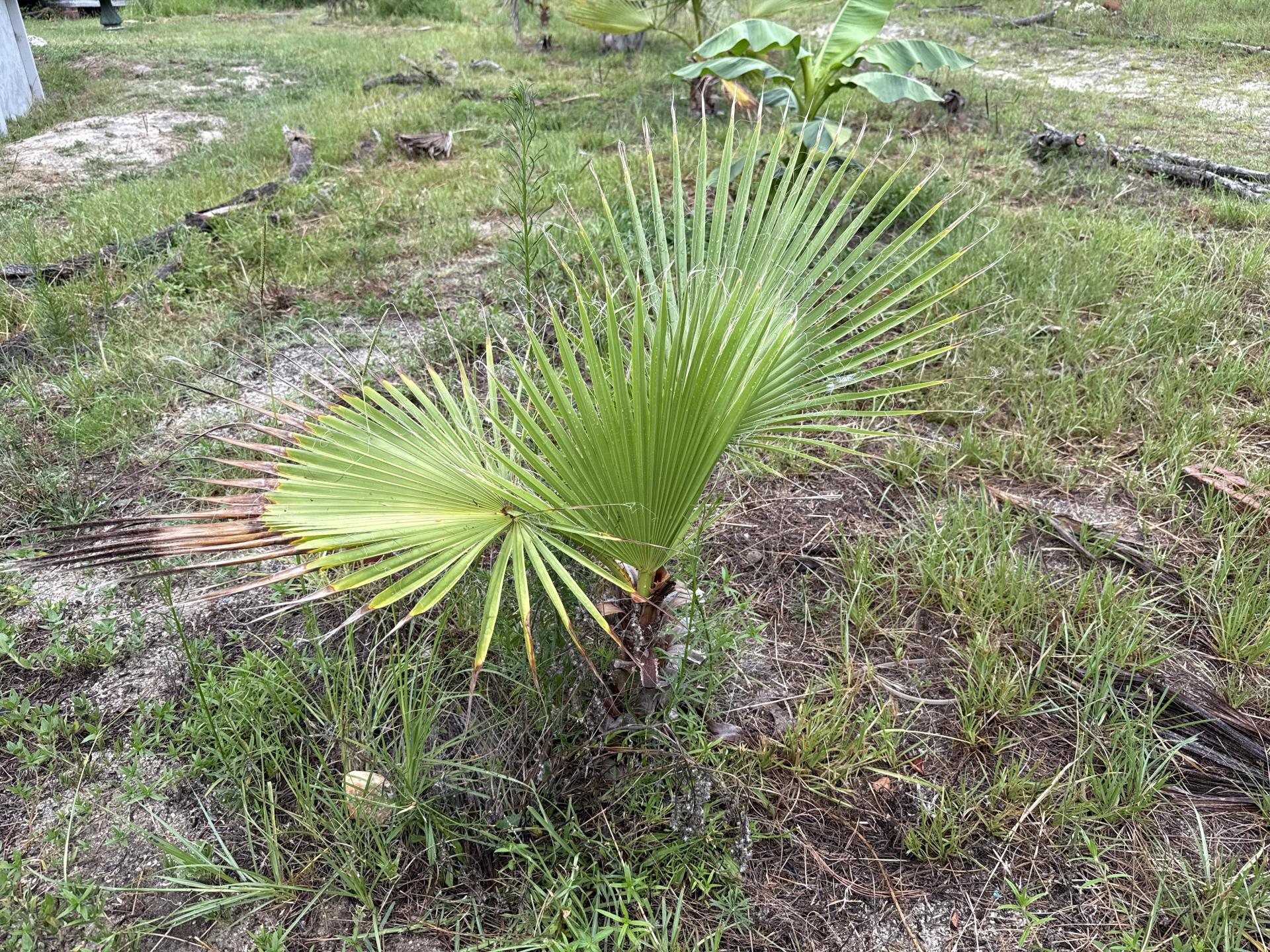
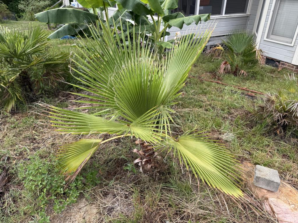
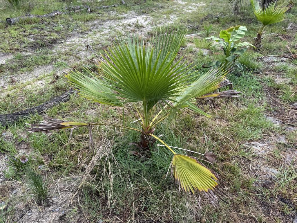
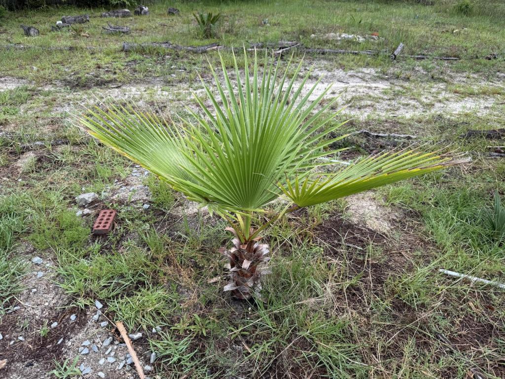
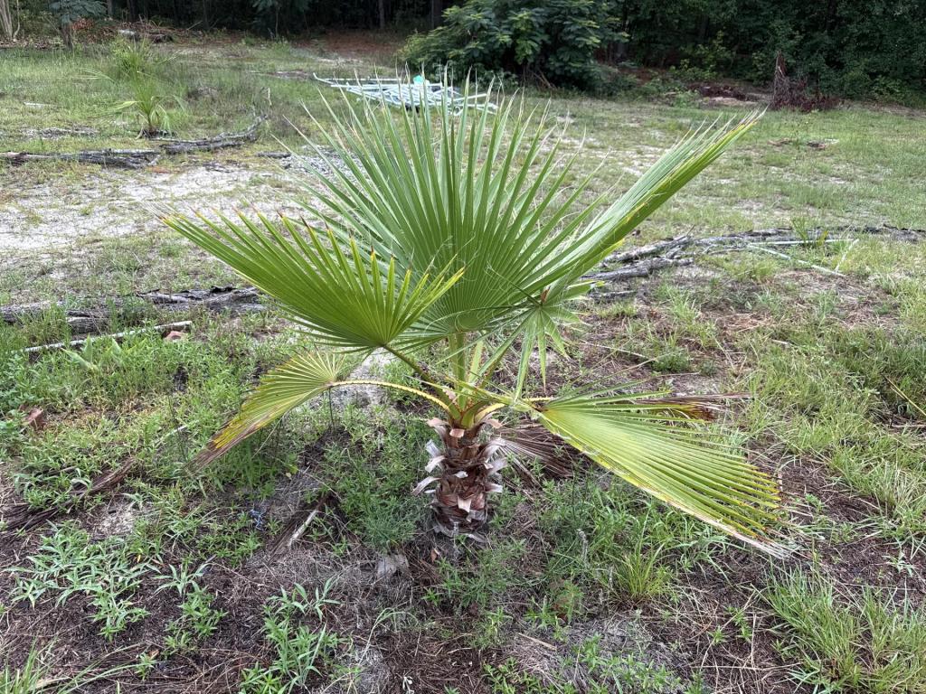
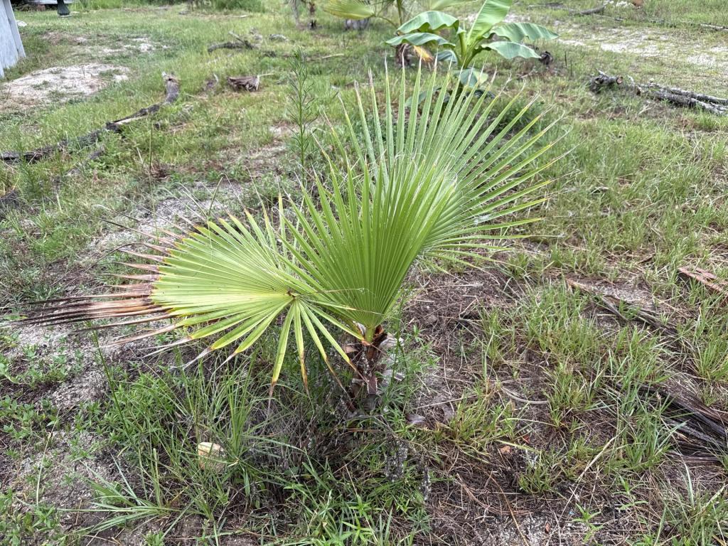
 2 pointsTook these pictures Sunday, thought now would be a good time to show update photos. Bragg Blvd Washie Seed Grown from Texas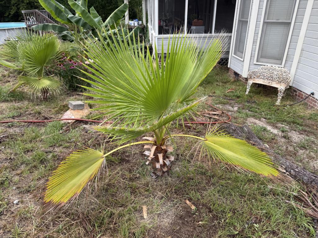
 2 points
 -
 2 points
 -
2 points
-
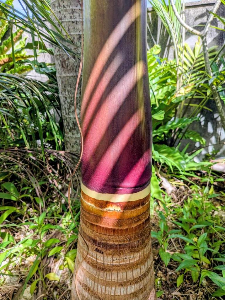
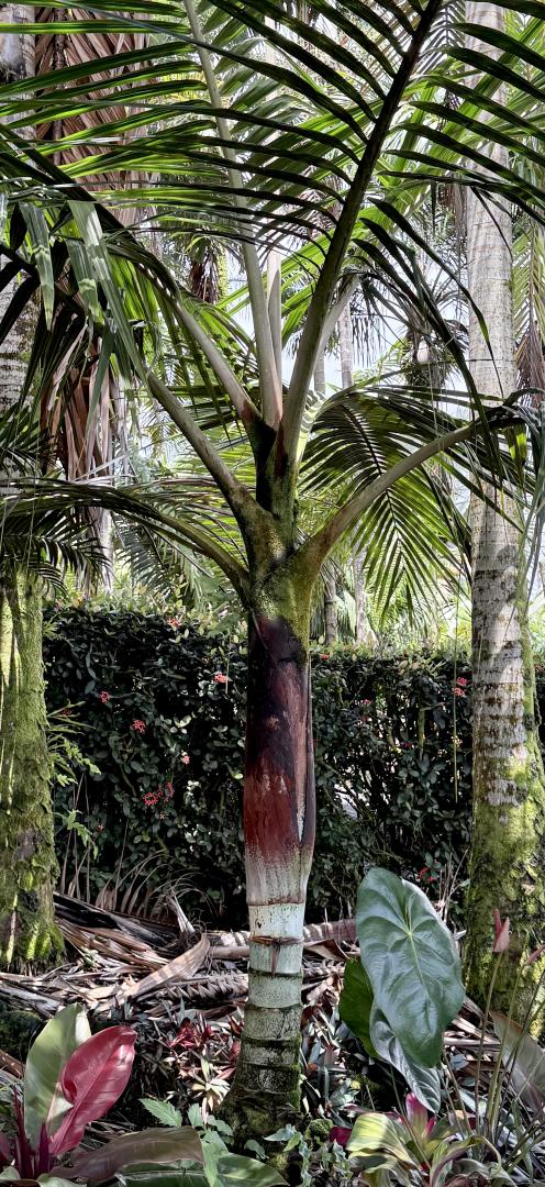
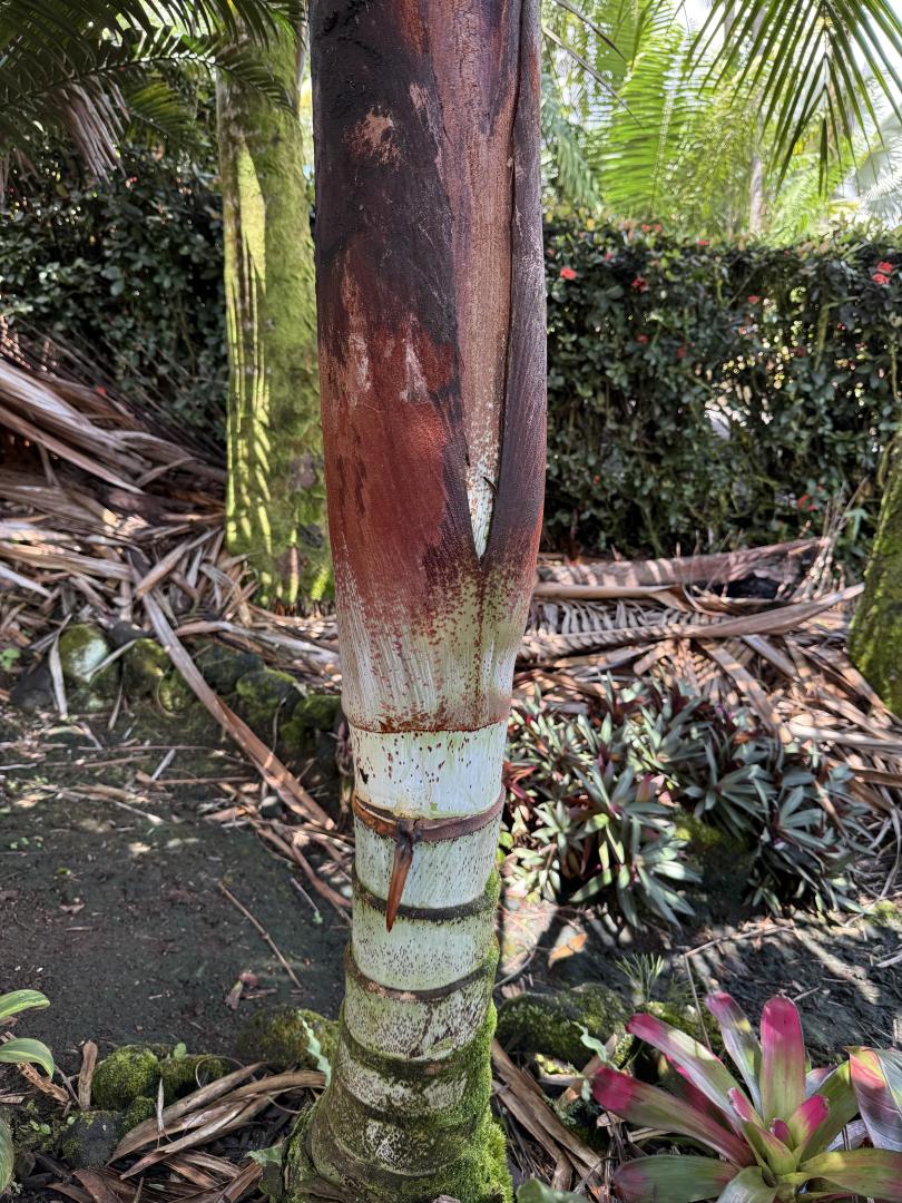
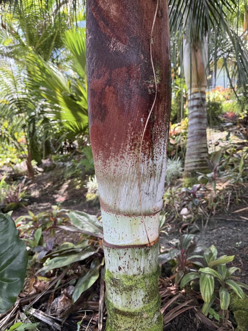
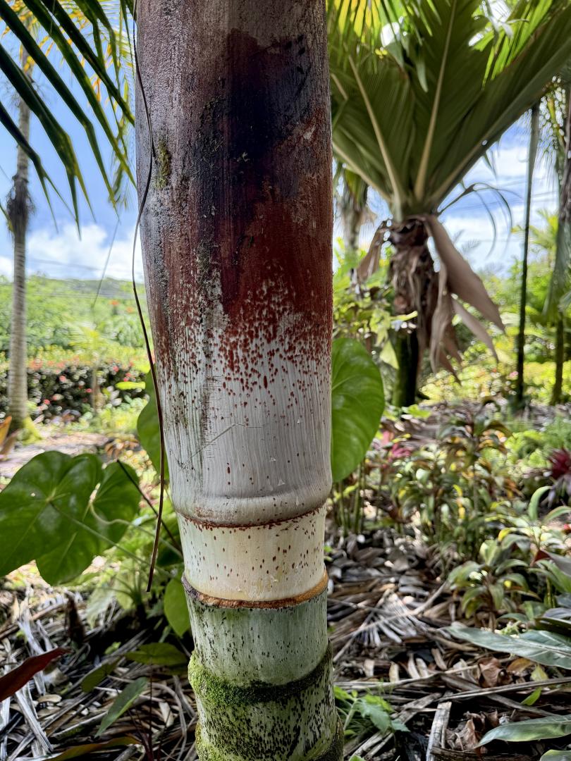
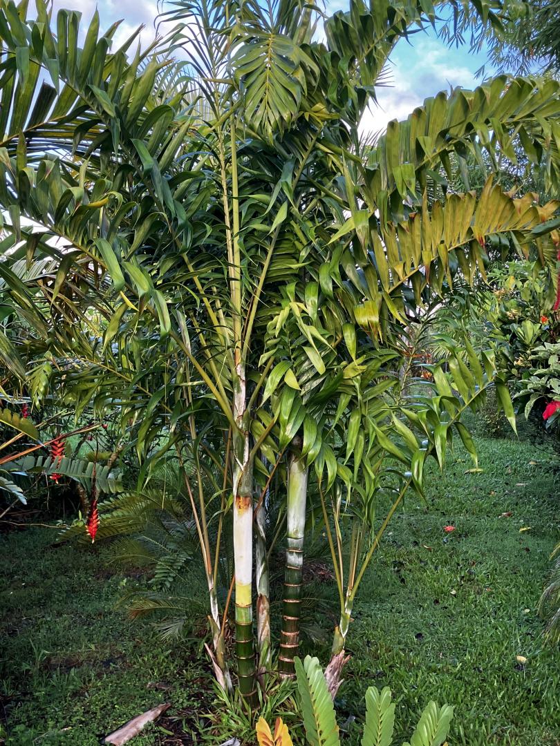
 2 pointsHi there. One of my Satakentias, a bit hard to make out... But with a nice color after shaking off a boot... Hallelujah!🥹 Lars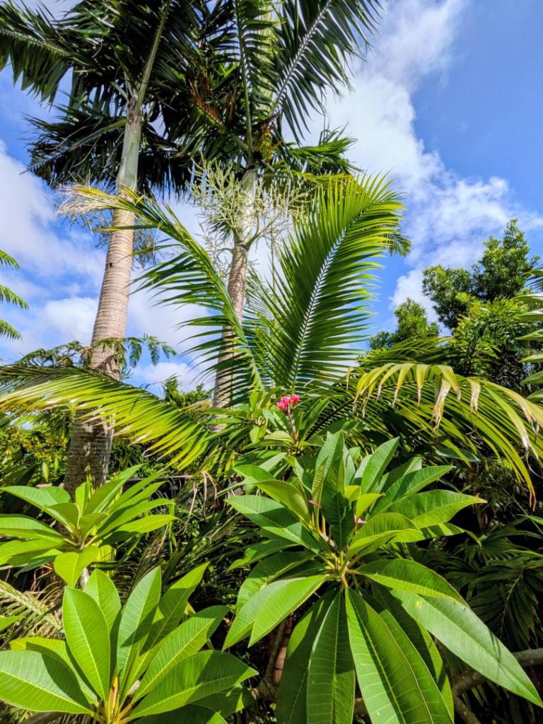
 2 points
 -
 1 point
 -
1 pointSure is. Approaching 24 months down here. Has only been through 1 full winter and I do keep it protected, but it doesn’t even flinch. I can just tell it won’t have a problem in the ground. Going to plonk it into a north east facing spot against the house with some filtered light through a bit of canopy.1 point
-
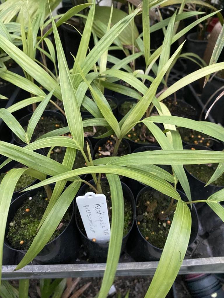
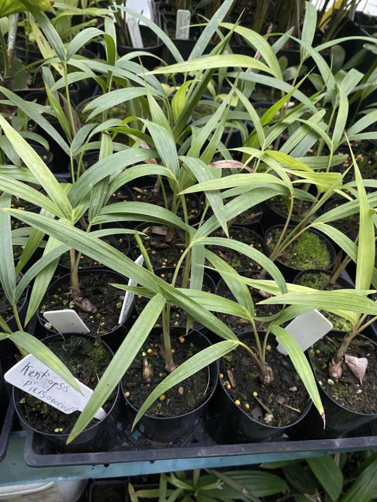
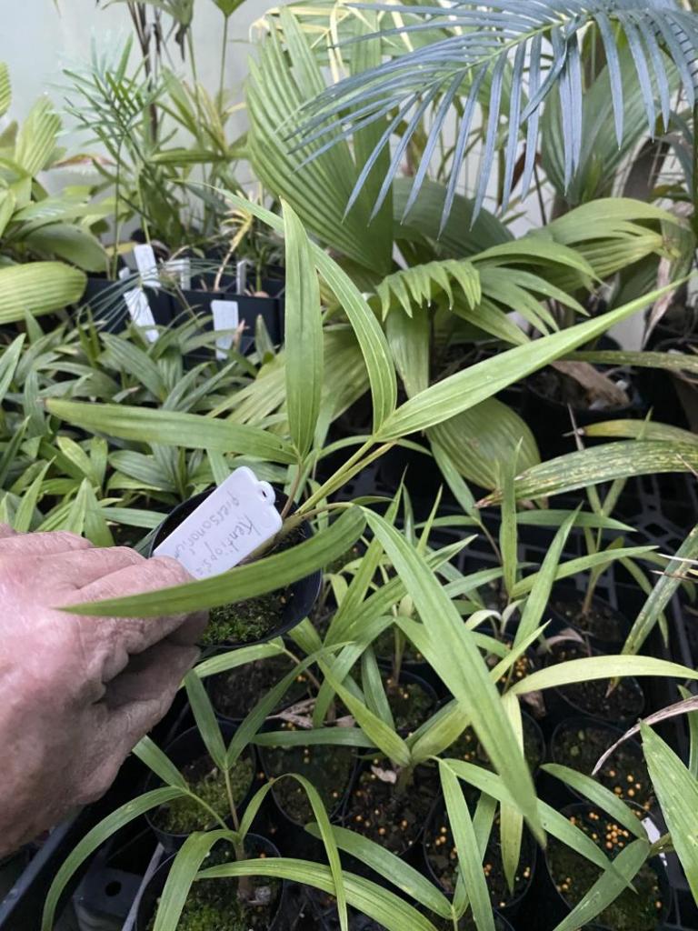
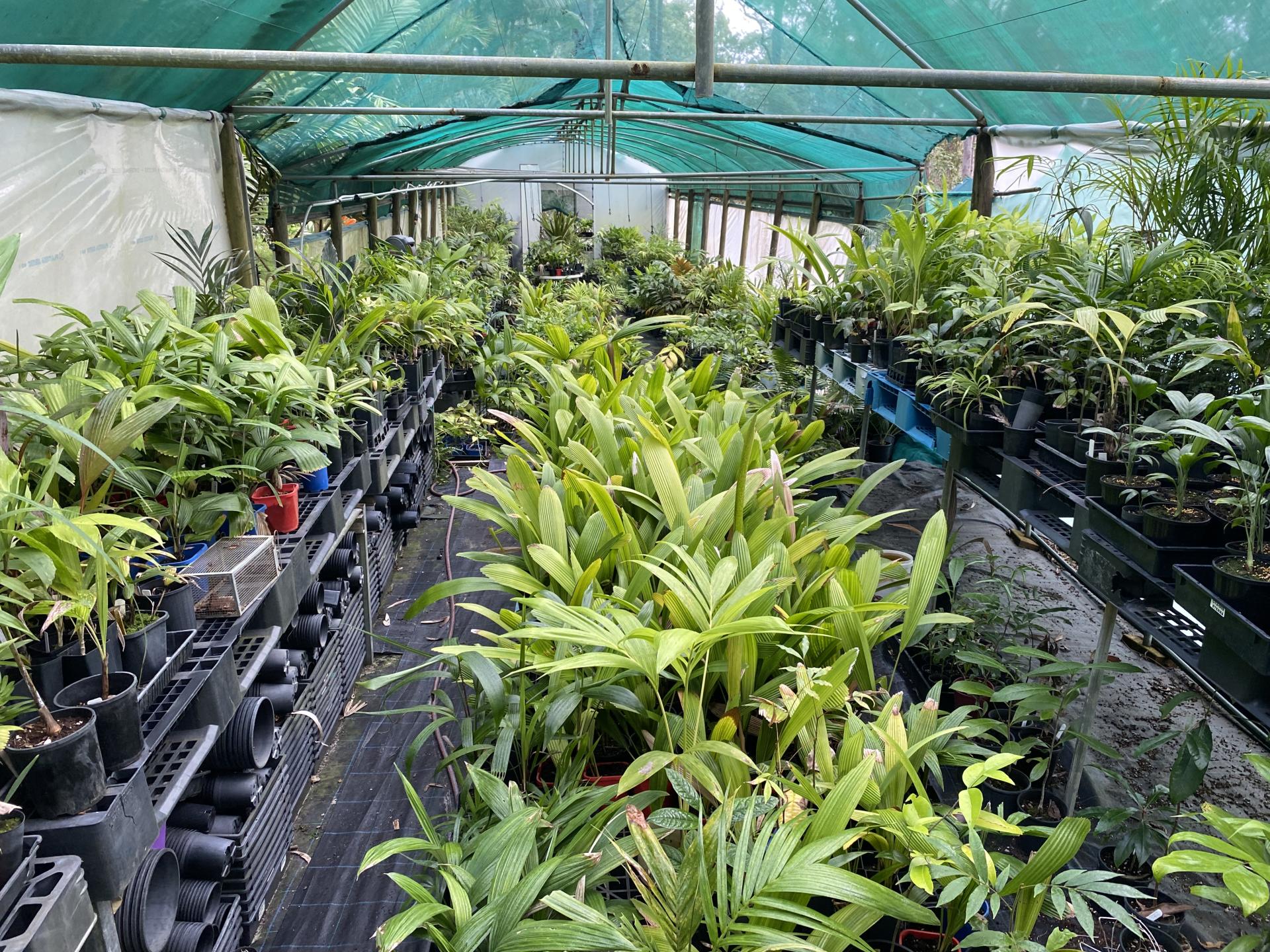
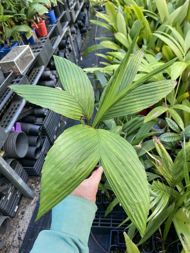
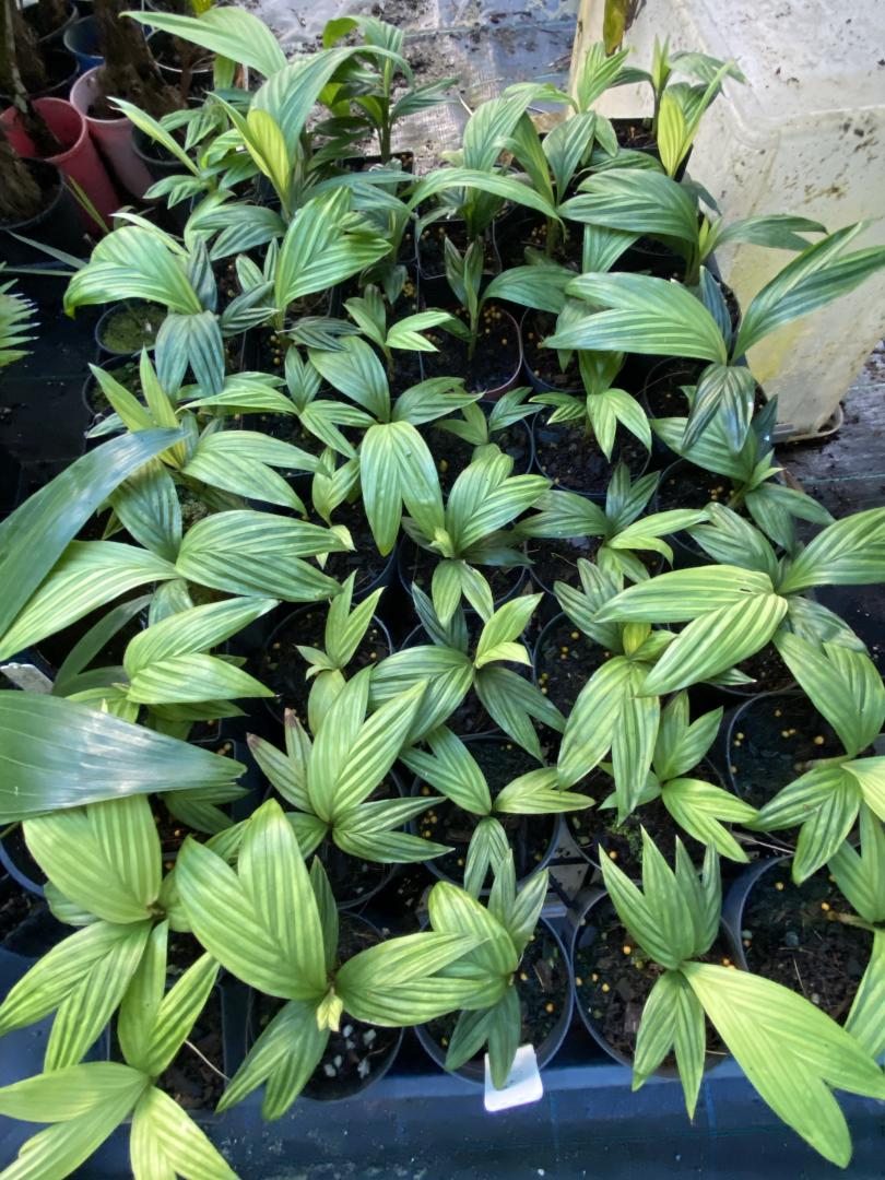
1 pointA few trays full of them should be enough for the domestic market, with a couple left over for the garden!
 1 point
 -
1 point
-
1 point
-
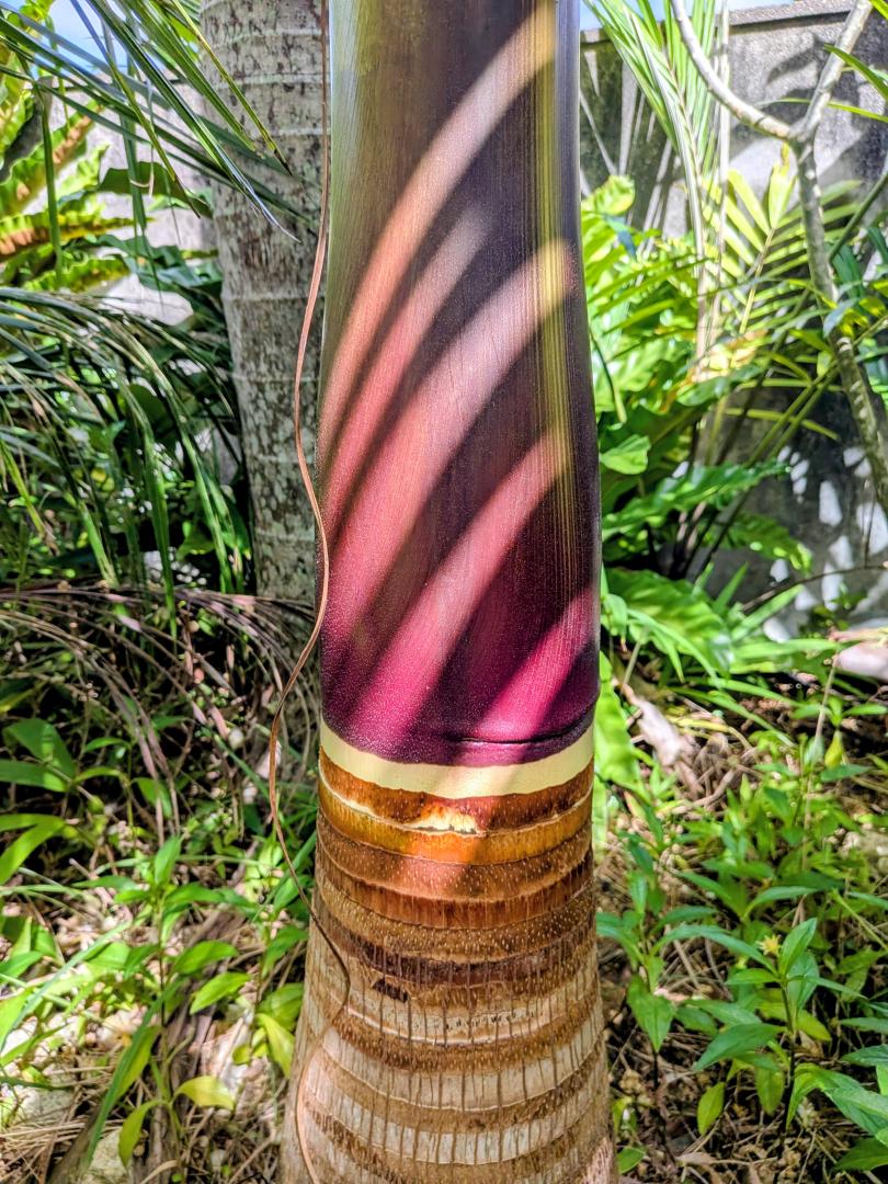
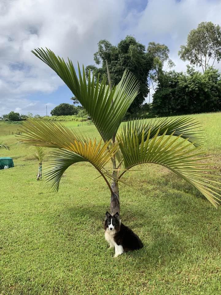
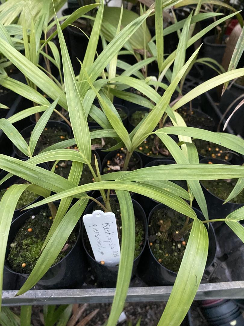
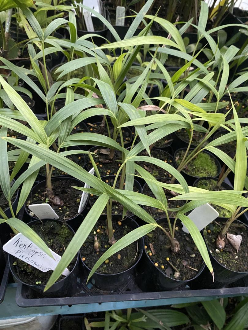
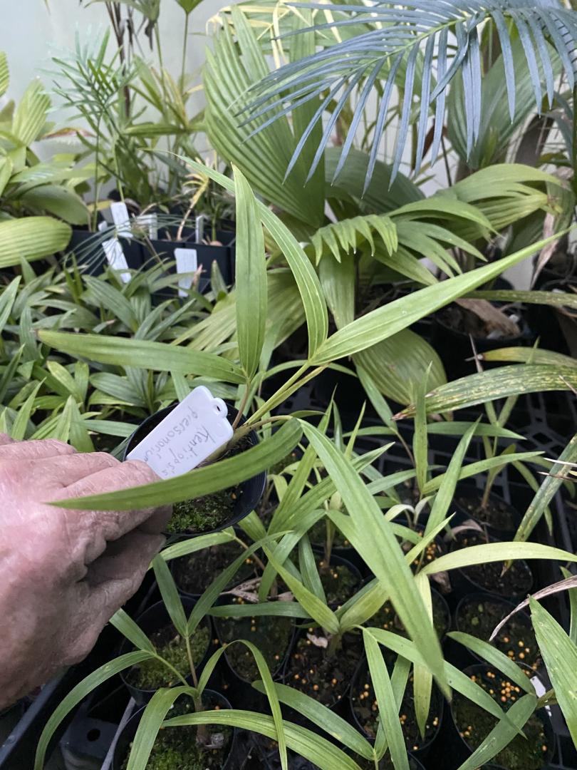
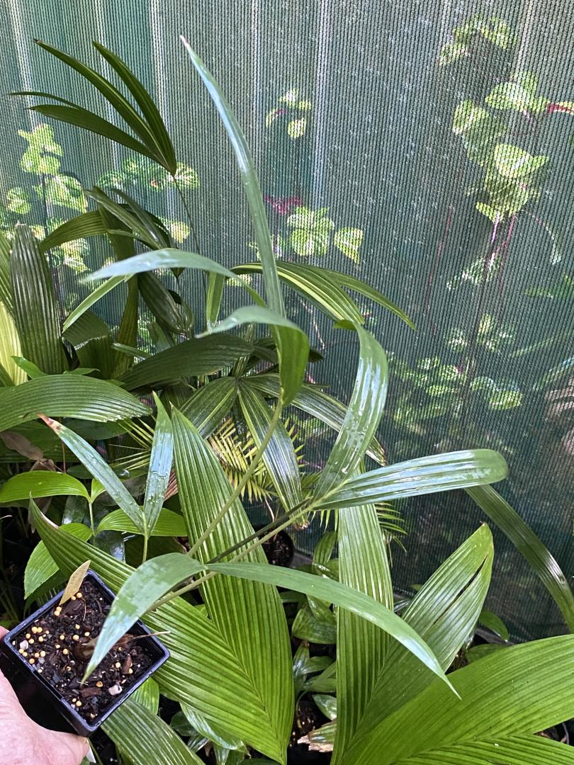
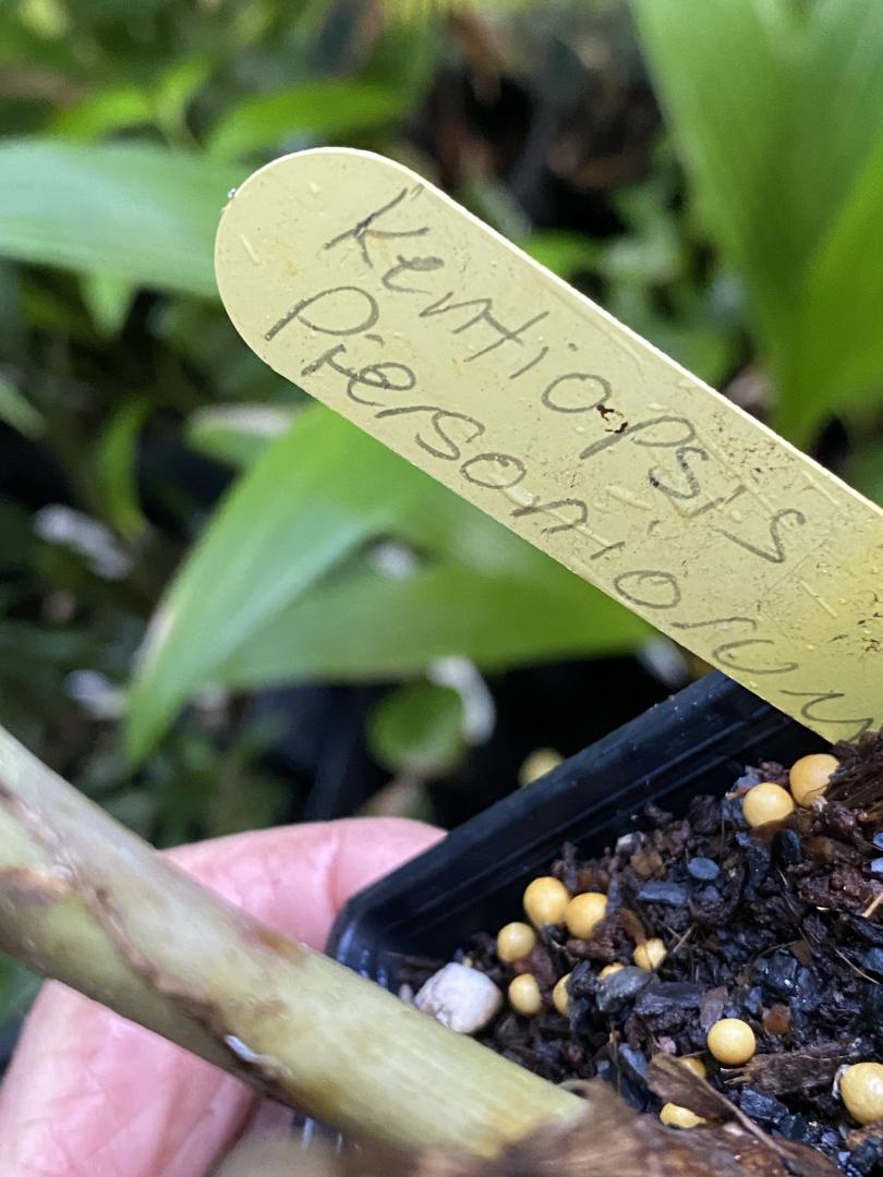
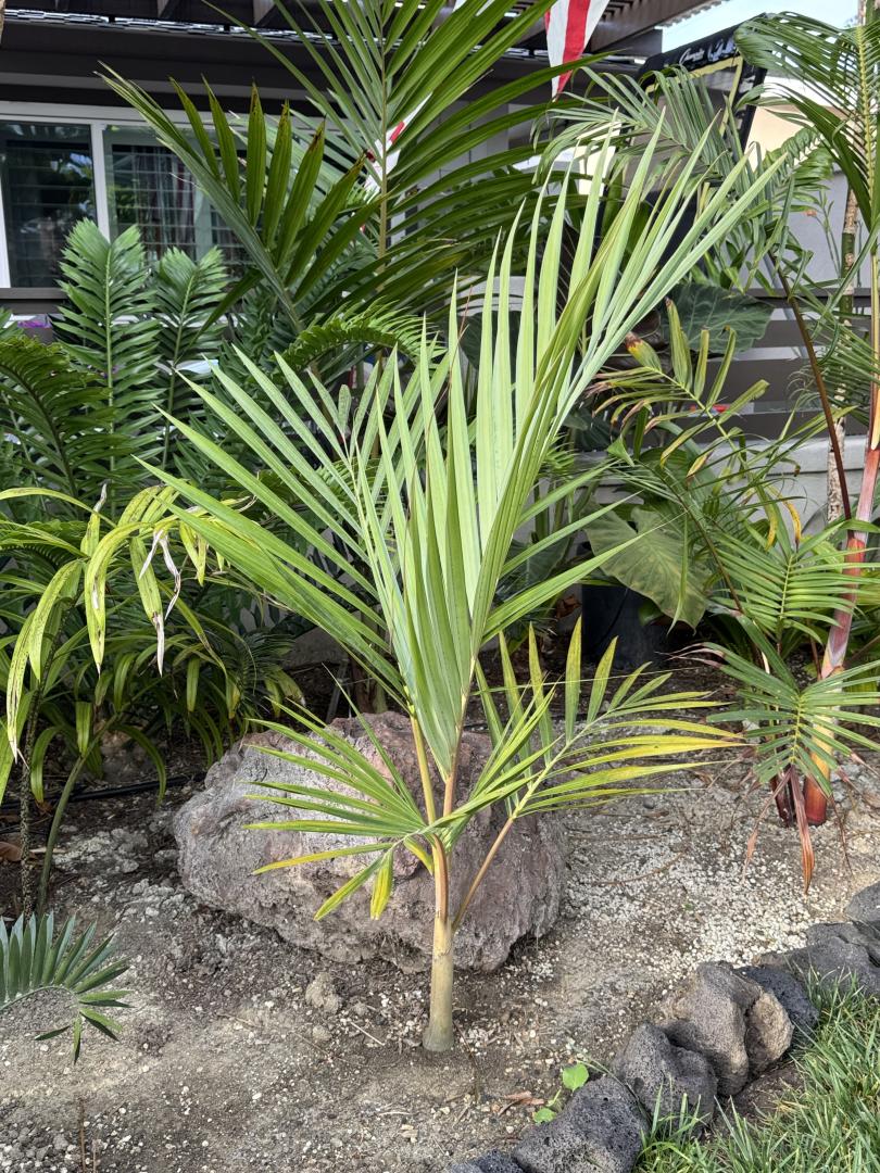
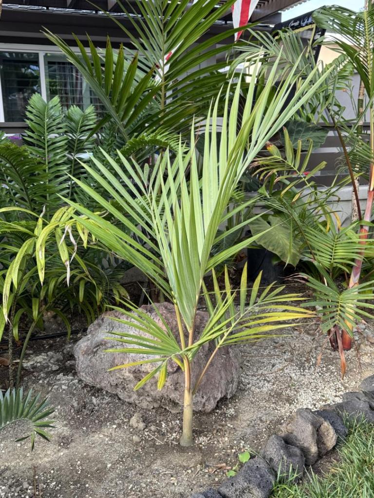
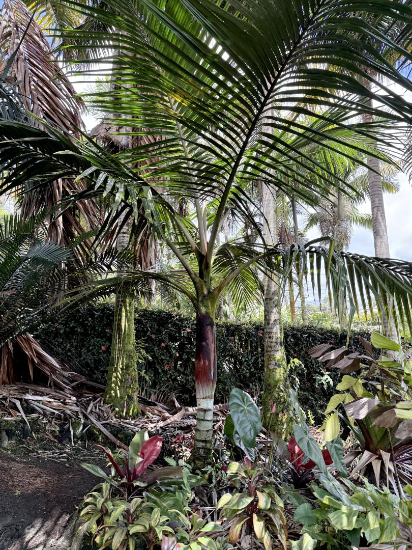
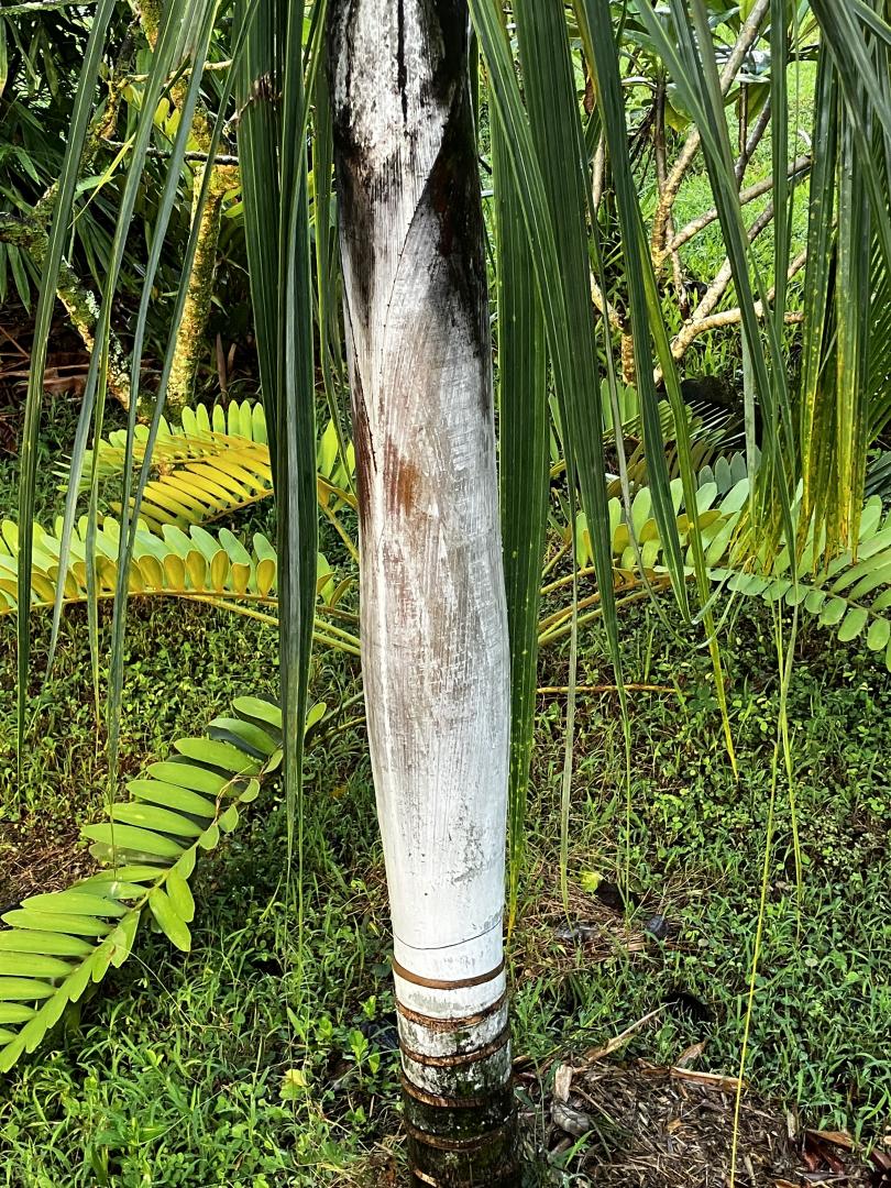
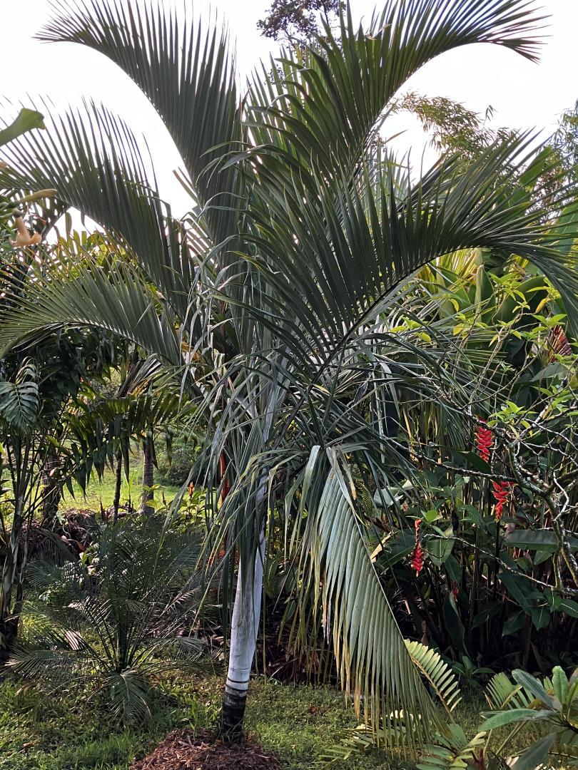
 1 pointAnother thread resurrected from years back. Here’s my Kentiopsis Piersoniorum doing well. Planted out as a 1G plant given to me by @shepcs a few years back. Doing really good in the garden. Let’s see some updates -dale IMG_8247.mov
 1 point
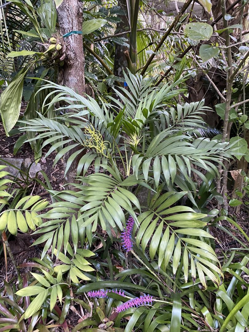
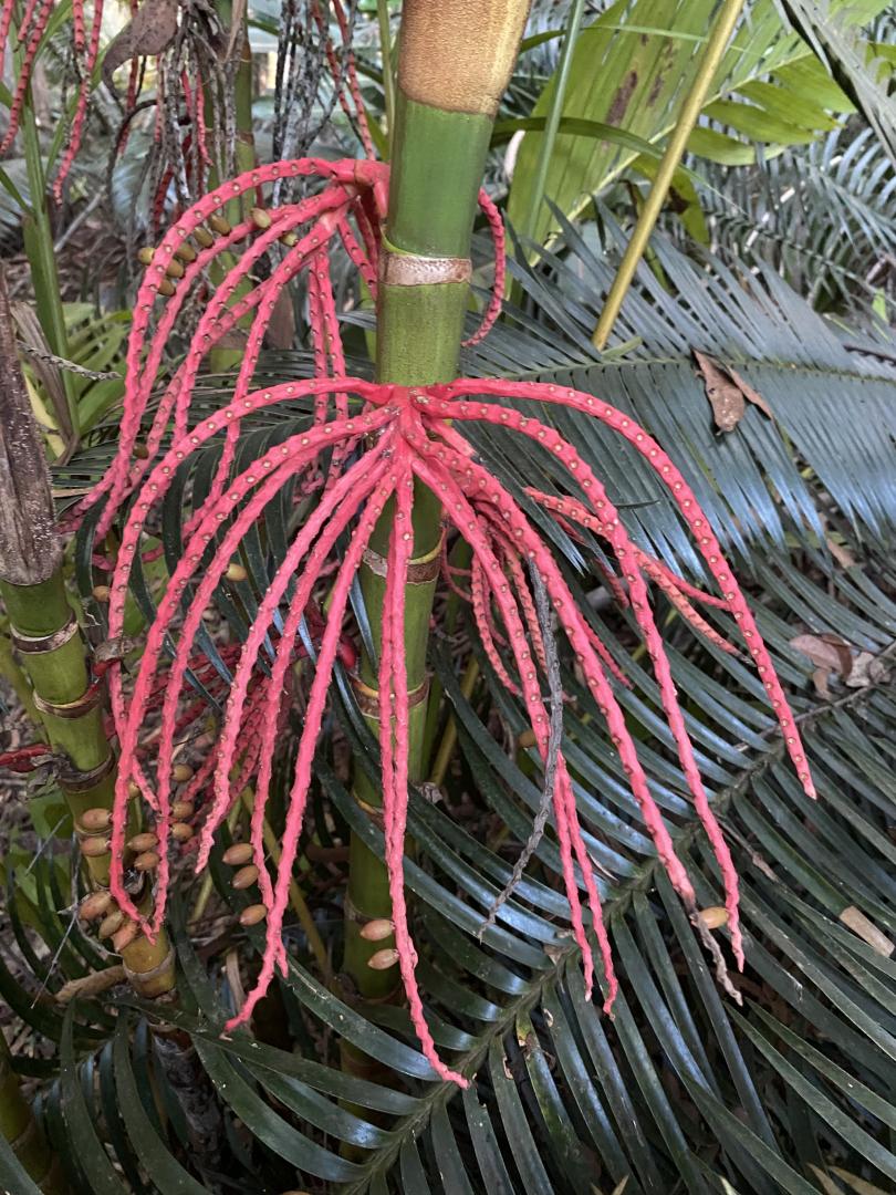
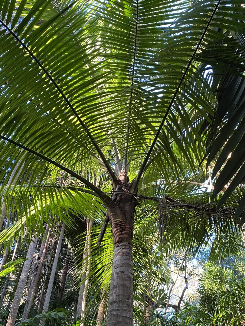



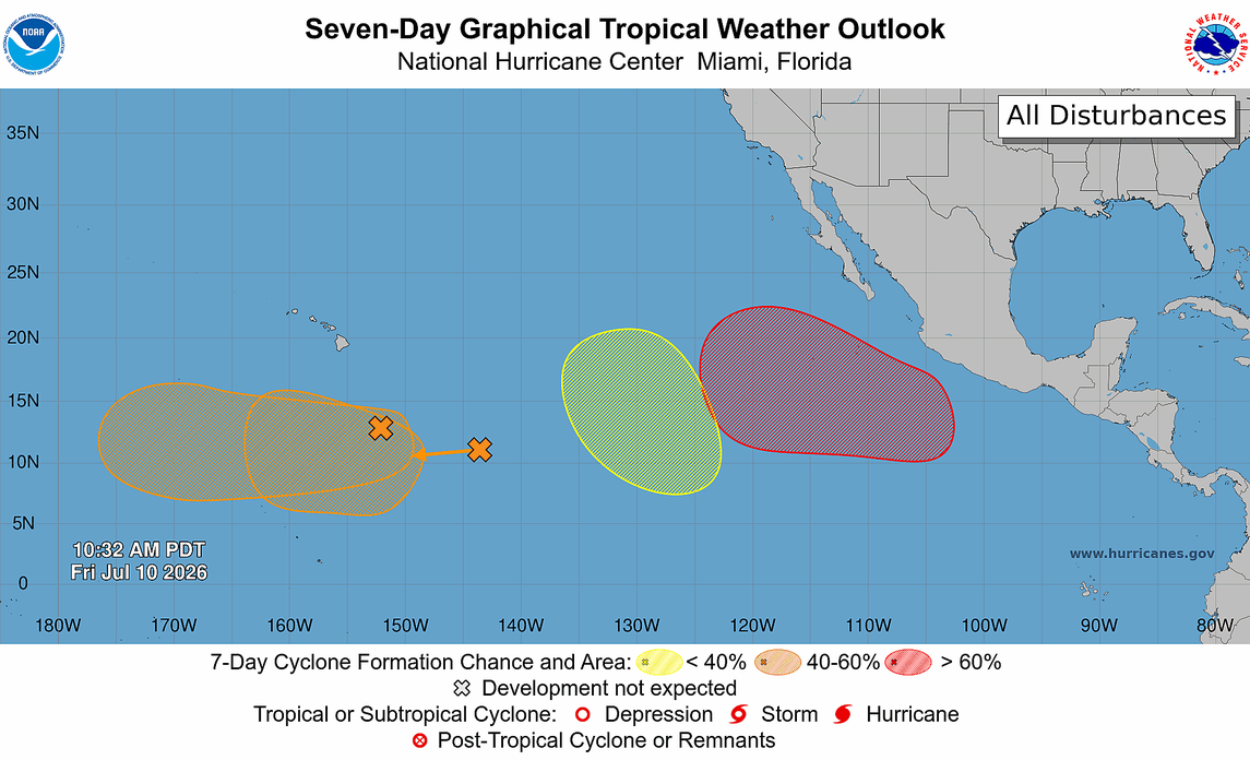
Scaled(27).png.c75b81d6427325dbd2bf6e45102ef889.png)